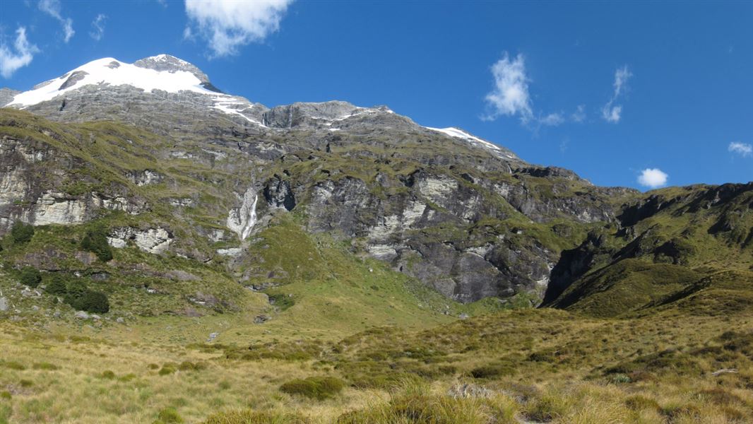
Kea Basin
First travel up the Rees Track until you reach the Kea Basin Track.
It takes half a day to climb to this beautiful sub-alpine tussock basin beneath Mt Earnslaw/Pikirakatahi. The zigzag track starts on the low terrace north of Lennox Falls, where the bush edge meets the terrace.
Half way up, Earnslaw Hut (basic) has four bunks and there's a rock bivvy just above bush-line. Views up the Rees Valley towards Rees Saddle are stunning. Kea Basin adjoins the Mt Earnslaw/Pikirakatahi Topuni, which recognises the historic and cultural importance of this mountain to Kāi Tahu.
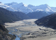
Travel to the end of the Rees Valley Road, and park at the Muddy Creek carpark, 30 minutes from Glenorchy on a gravel road with fords.
Be careful crossing the Rees River and its tributaries as they become dangerously swift when high. River crossing experience is essential.
Be avalanche alert
Avalanches can occur in any season. Any time that snow and steep slopes are combined there is potential for an avalanche. You need to understand the risks before you visit avalanche-prone country.
This area has terrain that can produce avalanches that cross the track, usually from May into November. View avalanche information and the terrain rating for this track.
Stay safe in the outdoors
- Choose the right trip for you. Learn about the route and make sure you have the skills for it.
- Understand the weather. Check weather forecasts.
- Pack warm clothes and extra food. Check gear lists.
- Share your plans and take ways to get help. Leave your intentions with a trusted contact and take a distress beacon.
- Take care of yourself and each other.
Whakatipu-wai-Māori/Queenstown Visitor Centre
| Phone: | +64 3 442 7935 |
| Email: | queenstownvc@doc.govt.nz |
| Address: |
50 Stanley Street |
| Hours: | Visitor centre hours and services |