13 km return return via same track
Closed for lambing 10 October to 5 December each year.
Image gallery
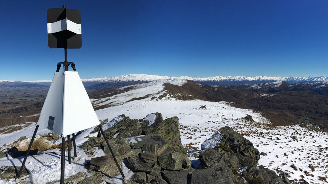
This public easement follows a farm track from Old Faithfull Road up to the summit of Lindis Peak (1,226 m above sea level).
From the top, there are great panoramic views of the area including the St Bathans Range to the east and the Southern Alps/Ka Tiritiri-o-te-Moana to the west.
The trailhead is located at the start of Old Faithfull Road, off SH8 22 km north of Tarras.
The Central Otago climate can swing to either extreme within a day. In winter the peak is covered in snow – a complete contrast to the dry and very hot conditions of summer. Prepare for these extremes with suitable clothing and equipment: sun hat, sun screen, water, warm and waterproof clothing and suitable footwear.
When walking ensure that you have a map and compass. The relevant NZTopo50 series map for this area is CB13 Tarras, available from the DOC office in Alexandra or Wanaka.
Stay safe in the outdoors
- Choose the right trip for you. Learn about the route and make sure you have the skills for it.
- Understand the weather. Check weather forecasts.
- Pack warm clothes and extra food. Check gear lists.
- Share your plans and take ways to get help. Leave your intentions with a trusted contact and take a distress beacon.
- Take care of yourself and each other.
Wānaka Tititea/Mount Aspiring National Park
Visitor Centre
| Phone: | +64 27 269 6871 |
| Email: | wanakavc@doc.govt.nz |
| Hours: | Visitor centre hours and services |