It covers nearly 60,000 hectares of rugged mountain country, tussocklands, beech forest and sparkling clear rivers and lakes between two mighty rivers the Rakaia and Rangitata.
There are a number of access points into Hakatere Conservation Park:
- Ashburton Gorge Road - visit Stour River and Mount Barrosa.
- Hakatere Potts Road - explore Lake Emma, Lake Clearwater, Mount Sunday or Mount Potts.
- Hakatere Heron Road - discover Buicks Bridge, Maori Lakes, Lake Emily, Lake Heron and Cameron River.
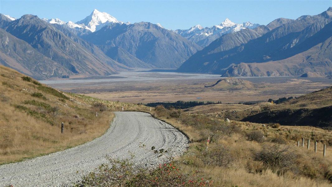
- Blackford Road / Double Hill Run Road - enjoy Turtons Saddle, Double Hill and the Palmer Range.
Natural hazards in the park include weather effects, hypothermia risk, avalanches, rock falls and river crossing.
Weather in this area can change dramatically. If you are planning outdoor activities you must be prepared for any changes.
Mount Arrowsmith weather forecast – NIWA website
Cell phone coverage is very limited within much of the park. The use of satellite phones, mountain radios or personal locator beacons can all provide increased personal safety.
This remote alpine landscape, with its kettlehole wetlands, tussock grassland, beech forest and lakes and rivers, is home to many rare plants and animals. Read more about nature in Hakatere Conservation Park.
The park was part of the seasonal trail of mahinga kai and resource gathering. Knowledge of these trails continues to be held by whānau and hapū and is regarded as taonga. Mahinga kai resources taken from the area include: tuna/eels, weka, kākā, kererū, tūi, pūkeko, aruhe / fern root, kiore, kōkopu, tikumu and ti kōuka/ cabbage tree.
A Statutory Acknowledgement and Deed of Recognition has been placed over the area through the Ngāi Tahu Settlement Act 1998, to formally acknowledge the association and values that Ō Tū Wharekai (Ashburton Lakes) holds for Ngāi Tahu.
In this area pastoral farming, particularly merino sheep farming, was the dominant activity in early days of European settlement. Within the park, there is evidence of this in the historic hut at Lake Emma, the Hakatere Station buildings, musterers’ huts and pack tracks. Native vegetation, regarded as an obstruction to travel and grazing, was often cleared by burning.
Hakatere Conservation Area (Barossa)
When Barrosa pastoral lease completed the tenure review process in July 2010 around 4,840 hectares became public conservation land.
Heritage sites
Historic features in the Hakatere Conservation Park area include:
- Mt Harper Ice Rink, possibly the first purpose-built public skating rink in the Southern Hemisphere
- Ōtūwharekai – Hakatere heritage - the historic Hakatere station buildings, once at the heart of the high country, are now the gateway to Ōtūwharekai/Ashburton Lakes.
Check, Clean, Dry
Clean all gear when moving between waterways to prevent the spread of didymo and other freshwater pests.
DOC Customer Service Centre
| Phone: | 0800 275 362 |
| Email: | info@doc.govt.nz |