Travel over streams that show off a constant spectacle of beautiful native bush; tranquil wetlands; and the surviving forests of kauri, rimu and kahikatea with their special plants and wildlife.
The track is a combination of easy walking tracks, boardwalks, steep climbs, stairways and bridges. It's suitable for reasonably fit beginners or experienced trampers.
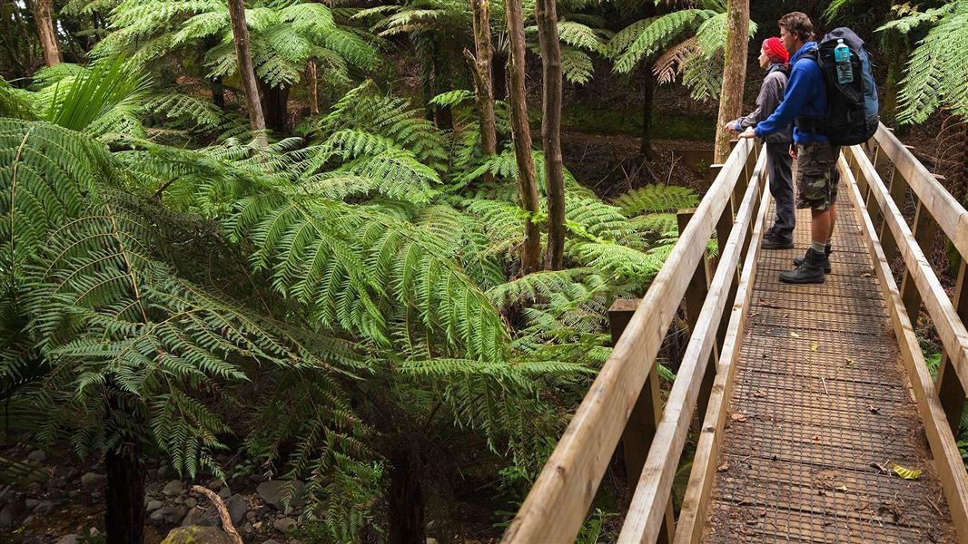
Image gallery
Video
Walking options
- For a 1 night trip, stay at Mt Heale Hut
- For a 2 night trip, stay at Mt Heale Hut then carry on to Kaiaraara Hut
- Walk the track in reverse to the description below and and end with a soak in hot pools
Hot Springs to Mt Heale Hut
Time: 4 hr
A paddle or soak in the Kaitoke Hot Springs is one of the highlights of the Aotea Track.
Starting from Whangaparapara Road, the Kaitoke Hot Springs Track begins flat and easy, following an ancient shoreline.
Follow the boardwalks across the unique Kaitoke Wetlands and listen out for the call of a fernbird or spotless crake, or maybe spot the orchids and sundews close to the track. Enjoy the hotpools but take care - they might be too hot in places.
After a brief steep climb and descent, join Tramline Track North, which harbours reminders of the toil of loggers 80 years ago. Peach Tree Track soon appears on the left and you climb steadily through the regenerating forest to reach Mt Heale Hut.
Given a clear evening, the striking sunsets over Hauturu/Little Barrier Island make the journey all worthwhile.
Windy Canyon to Mt Heale Hut
Time: 3 hr - 3 hr 30 min
Alternative access to the Mt Heale Hut is possible from the east, via Windy Canyon and Palmers Track, accessed from Aotea Road at the top of Whangapoua Hill. This section is fully bridged and is the shortest and easiest option for the first day. Here a steady climb takes you through the sheer rock faces of Windy Canyon with superb views of Okiwi Basin and Whangapoua estuary to the north, and Kaitoke and Medlands Bay to the east.
On the ridge still stands the ‘wooden horse’, a sturdy H-frame used for winching logs up and over the saddle, before sending them down the other side on their way to the sea.
The track follows the ridge, offering constantly changing vistas in every direction, before an impressive set of steps and stairways leads you to the summit. From here take South Fork Track along and down to Mt Heale Hut.
South Fork track crosses streams that can become dangerous after rain. Do not attempt to cross streams after heavy rain.
Side trip: Mt Hobson (Hirakimata) summit
Time: 5 min return
Consider taking a side trip to the Mt Hobson (Hirakimata) summit for a 360° panoramic view. Hirakimata is home to rare species such as kākā, kākāriki, tomtit/miromiro, black petrel/tāiko, and recently re-introduced North Island robin/pītoitoi. The beautiful endemic Great Barrier tree daisy and tiny sundews like it here as well. Wooden steps closer to the summit protect the black petrel nesting grounds and sensitive ecosystems.
Mt Heale Hut to Kaiaraara Hut
Time: 4 hr
Follow the signs to Kaiaraara Track. The track is a steep downhill track with 15 bridges including 3 suspension bridge. The summit track is an easy tramping track with many stairs going downhill and the rest of the Kaiaraara track is of day visitor standard
Several kauri dams were built in this area in the 1920s to transport timber from the mountain to the sea. An estimated 7 million feet of timber was slid into the dams. Once loaded, the dams were tripped one after the other so a full blast hit the lower dam, propelling the logs into Kaiaraara Bay. The foundation timbers still remain in place but unfortunately the Kauri Dam was washed away in a storm in June 2014
Kaiaraara Hut to Whangaparapara Road
Time: 5 hr
The last day is an easy grade route with no major climbs following Forest Road. Enjoy the beautiful bush and mountain views on route including Maungapiko Lookout, Kauri Tree Route (a small stand of impressive large kauri trees), as well as extensive vistas of the bays to the west.
From Forest Road follow the historic Tramline Track to The Green campsite. On the way, a 5 minute detour to Kauri Falls is an excellent waterfall swimming opportunity. You can camp at The Green campsite at Whangaparapara or exit onto Whangaparapara Road.
Once on the island, entrances to the Aotea Track can be accessed by road.
Getting to Aotea/Great Barrier Island
Aotea/Great Barrier Island can be reached by boat or plane.
Their are two airlines that service the island, Barrier Air and Island Aviation. Barrier Air link Auckland’s Māngere domestic airport to Claris airfield on the island daily. Island Aviation only departs from Northshore, Diary Flat airport check their website for more details.
Sealink offers a passenger and car ferry service three to four times a week depending on the season.
Passenger bus and rental car services are available. For more information see Aotea Great Barrier Island's Getting around webpage.
Experience required
- moderate fitness
What to expect
- walk 10 - 25 km
- carry a pack
- some steep climbs
- many steps and stairways
- hot sun and high UV
- rain and colder temperatures
- slippery portions of track
What to take
Pack in and pack out all rubbish
There is no rubbish or recycling facilities on the Aotea Track. Take all rubbish and recycling (include food waste) home with you.
Keep an eye out for the following on the walk:
- Chevron skink, one of NZ’s most endangered lizards. They can grow up to 30cm long.
- North Island kaka. Large brown noisy parrots are often seen flying high above the forest canopy, their raucous call is part of the island’s atmosphere.
- Banded Rail, often mistaken for baby weka, are a common site.
- Black Petrel, North Island Robin and tomtit also inhabit the slopes of the highest point Hirakimata.
The native forest is regenerating after a history of land clearance and kauri logging. Three plant species found only on the island are found along the track:
- Great Barrier tree daisy
- prostrate kānuka
- subspecies of hebe
The kauri forests were logged with increasing intensity between the 1880s and early 1930s. Much of the Aotea Track follows old kauri logging and milling tramway routes. A few areas of original kauri forest survived, one area being the summit and surrounds of Hirakimata.
Stay safe in the outdoors
- Choose the right trip for you. Learn about the route and make sure you have the skills for it.
- Understand the weather. Check weather forecasts.
- Pack warm clothes and extra food. Check gear lists.
- Share your plans and take ways to get help. Leave your intentions with a trusted contact and take a distress beacon.
- Take care of yourself and each other.
Stop kauri disease and protect kauri
- Scrub all soil off shoes and gear.
- Use cleaning stations.
- Always stay on the track.
DOC Customer Service Centre
| Phone: | 0800 275 362 |
| Email: | greatbarrier@doc.govt.nz |
| Address: | Aotea / Great Barrier Island Office |