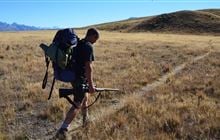
Rata Peaks hunting
Located in Mid & South Canterbury hunting in the Canterbury region
|
Introduction
This area with tahr is open for hunting all year.Species
- Tahr
Permit requirements
This hunting area is covered by an 'open area permit' – get it online or from a DOC office.
Dog access
About this hunting block
General information
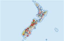
Rata Peaks Conservation Area is just south of the Rangitata River and 59 km west of Ashburton. The terrain is mountainous with the highest point being 1416 m. The vegetation is mainly tussock with some scrubland in gullies. The area is about 854 hectares.
Access
For access permission across private property or to enter the areas outside public conservation land, contact:
- Lochaber Station, or
- Rata Peaks Station
The block can also best accessed by helicopter and approval will be provided if an appropriate landing permit is obtained.
Topo maps
NZTopo50 map sheets: BX18 Lake Clearwater, BY18 Ashwick Flat
Dogs
Dogs are allowed on the conservation land but permission is required from land owners for them to cross private land.
Huts
There are no huts or bivvies available.
Additional information
Check for current pesticide operations that may be in progress where you intend to hunt.
Contacts
| Raukapuka / Geraldine Office | |
| Phone: | 0800 275 362 |
| Email: | info@doc.govt.nz |
| Address: |
13 – 15 North Terrace Geraldine 7930 |
| Postal Address: |
PO Box 33 Geraldine 7956 |
| Full office details | |