
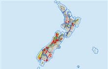
Gamack hunting
Located in Mackenzie Country & Waitaki hunting in the Canterbury region
|
Introduction
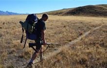
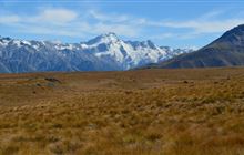
Hunt tahr and chamois in the Gamack Range, extending south from the Liebig Range bordering Aoraki/Mt Cook National Park.Species
- Chamois
- Tahr
Permit requirements
This hunting area is covered by an 'open area permit' – get it online or from a DOC office.
Dog access
About this hunting block
General information
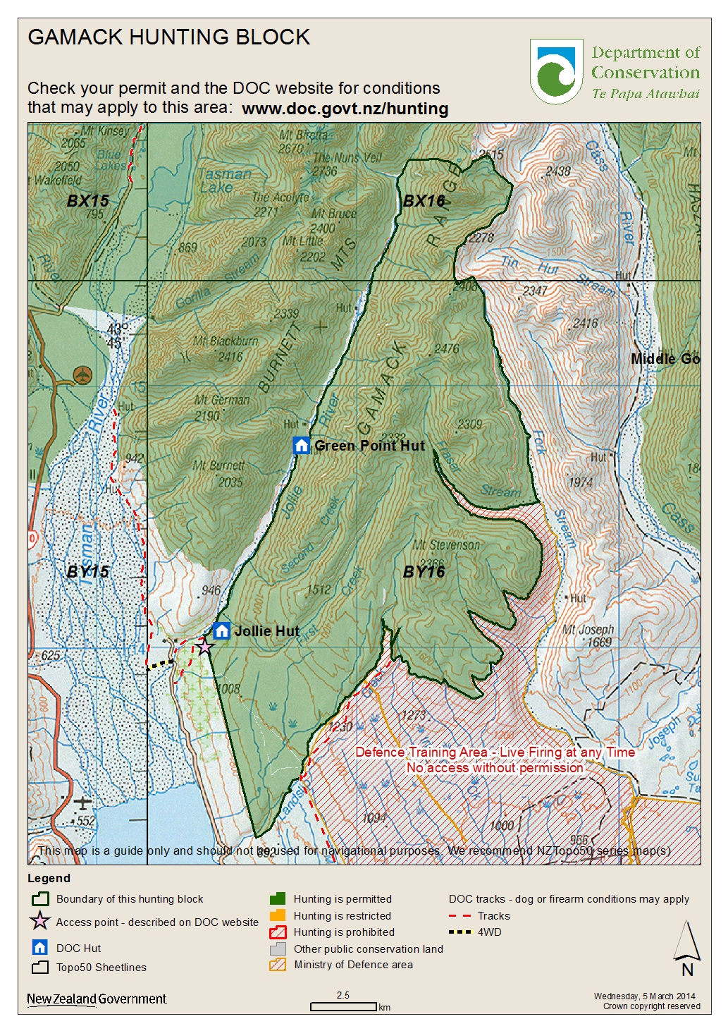
The Gamack Range extends south from the Liebig Range bordering Aoraki/Mt Cook National Park. The Gamack Range sits between the Jollie and Cass Rivers and the public conservation land is called Gamack Conservation Area. Animal species are tahr and chamois. This area has unfenced boundaries.
Do not enter the Tekapo Military Training Area, a Defence Area, without permission. Live firing can occur at any time. Do not touch or pick up anything as it may be an unexploded ordinance.
Access
A walking track into Jollie Hut is signposted off Braemar Mount Cook Station Road. This is a public access easement through private land so keep to the track. No hunting is allowed until you reach the public conservation land boundary (this is signposted).
On Braemar Road there is a DOC signposted car park. The track travels along an old glacial moraine terrace and is walking or mountain biking access. Again this is a public access easement so please keep to the track and no hunting is allowed on private land. After 10 km the track reaches Landslip Creek in Gamack Conservation Area. You can also hike uphill from here to Braemar Dome (below Mt Stevenson).
For access via the Forks Stream and Fraser Stream, permission is required from the New Zealand Defence Force. On occasions, the New Zealand Defence Force may at its discretion and with consultation with adjacent property managers, allow access over defence land to gain entry to Fork Stream. Such parties will be escorted through the Defence Area by the Warrant Officer in Charge from Tekapo Military Training Area, or his representative.
Landholders
- Tekapo Military Training Area, Lake Tekapo
- Mount Cook Station (initial part of public walking easement into Jollie Hut)
Maps
- Topo50 BY16, BX16
- Gamack hunting block map (JPG, 1,700K)
Huts
Know before you go
Help control wallabies in this area by reporting sightings
Wallabies can displace other species, affect pastures and native species' habitats.
They also potentially impact production and native ecosystems.
Report your sighting online – it only takes a few minutes.
You can also report wallaby sightings by calling 0800 80 99 66.
Contacts
| Te Manahuna / Twizel Office | |
| Phone: | 0800 275 362 |
| Fax: | +64 4 471 1117 |
| Email: | info@doc.govt.nz |
| Address: |
15 Wairepo Road Twizel 7901 |
| Postal Address: |
Private Bag 951 Twizel 7944 |
| Full office details | |