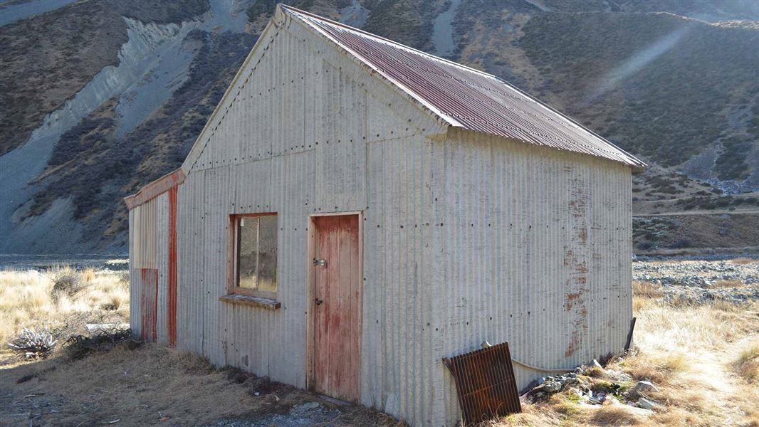
Green Point Hut was originally part of Braemar Station where it was used as mustering hut. It is now in Gamack Conservation Area and is regularly used by hunters looking for thar.
Fees
Free
A track into Jollie River catchment is signposted off Braemar Mount Cook Station Road on the eastern side of Lake Pukaki. This track can be used by people on foot or mountain bike. The first few kilometres are through private land so please stay on the formed track. It is 3 km to Jollie Hut, then roughly 8 km further up the valley to Green Point Hut.
This is a backcountry hut with no DOC track access. You will need to plan your route and navigate yourself, using aids like a map, compass and GPS. Learn navigation skills.
Location
NZTopo50 map sheet: BY16
Grid/NZTM2000 coordinates: E1377908, N5147728
Stay safe when crossing rivers
If you plan to cross unbridged rivers, know how to cross safely and be prepared for if you cannot cross.
Do not cross if the river is flooded, you cannot find safe entry and exit points or are unsure it’s safe. Turn back or wait for the river to drop. If in doubt, stay out.
DOC Customer Service Centre
| Phone: | 0800 275 362 |
| Email: | info@doc.govt.nz |
| Address: | Te Manahuna / Twizel Office |
