8.4 km return via same track
A journey that was the grind for the people of the late ninetieth and early twentieth centuries can be enjoyed for its bush views today.
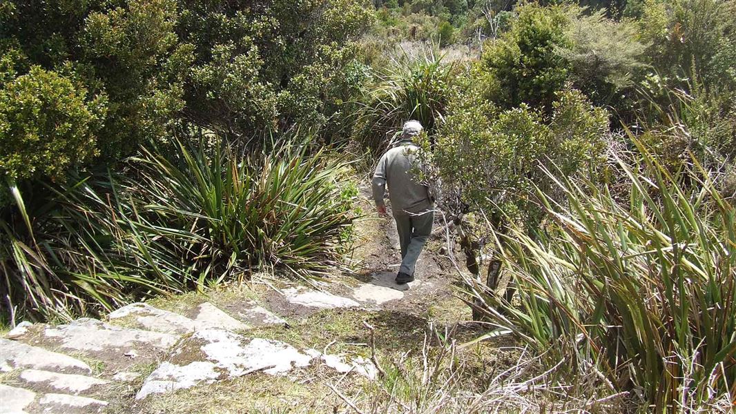
Climbing from near sea level to 600 m altitude, the track is steep particularly towards the top. The track surface is uneven for most of the way. Ensure you wear sturdy footwear.
Be prepared, carry warm waterproof clothing and take something to eat and drink.
Denniston is 18 km northeast of Westport. From Westport, follow SH67 north for 15 km. Turn right at Waimangaroa onto the road to Denniston.
The bottom of the track is signposted on Conns Creek Road behind Waimangaroa, the top end is signposted at the Denniston Brakehead.
Some sections of the track are exposed with creek crossings and small reroutes. There are slippery rocks and a narrow track on a steep slope. Follow the track markers and all signage in place.
Creeks are subject to sudden high flows.
Suitable footwear, experience and care is required.
Aside from the incline, which was used for the transportation of coal, the bridle path, completed in 1884, was the only means of access to Denniston. Travel along this route was either by horse, or on foot.
Stay safe in the outdoors
- Choose the right trip for you. Learn about the route and make sure you have the skills for it.
- Understand the weather. Check weather forecasts.
- Pack warm clothes and extra food. Check gear lists.
- Share your plans and take ways to get help. Leave your intentions with a trusted contact and take a distress beacon.
- Take care of yourself and each other.
Paparoa National Park Visitor Centre
| Phone: | +64 3 731 1895 |
| Email: | paparoavc@doc.govt.nz |
| Address: | 4294 Coast Road Punakaiki RD 1 Runanga 7873 |
| Hours: | Visitor centre hours and services |