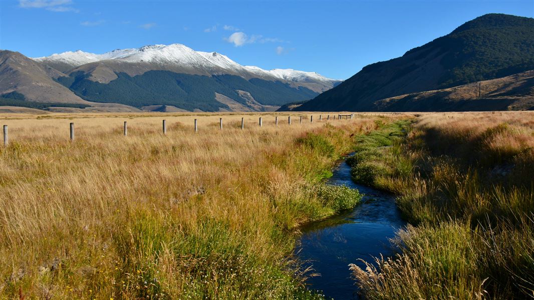
Irthing Valley
Time: 1 hr 30 min
From the picnic area off Mulholland Road a track leads off up the true left riverbank, crossing to the true right after about an hour. About 20 minutes further on a two bunk bivvy, known as “The Mansion”, is located in a small clearing. Above this point the river runs through steeply gorged country and travel is difficult.
Mount Bee Ridge
Time: 3 - 4 hr
A four wheel drive road leads off the end of Irthing Road and climbs up Mount Bee to a group of huts 2-3 hours walk from the road. From here the road continues for another 6 kilometres where there is ready access to both the upper Irthing and Cromel valleys.
Access to Mt Bee is restricted. Anyone requiring access by foot or vehicle must seek approval from the landowner and give at least 2 days notice. Contact the landowner Ben Walling +64 27 444 6823.
Cromel Valley to Cromel Branch Hut
Time: 4 - 4 hr 30 min
The Cromel Valley 4WD track passes through about three kilometres of privately owned native forest before reaching public land. The Cromel Hut is another three kilometres along this track. The track then climbs to the saddle between the Acton and Cromel branch before descending to the Cromel Branch Hut.
Acton Valley to Cromel Hut
Time: 2 hr 30 min - 3 hr
The track enters the bush about 20 metres north of the former Acton Hut site and follows up the ridge to a saddle before descending to the Cromel Stream which is crossed about five minutes north of the Cromel Hut.
Acton Valley to Cromel Branch Hut
Time: 4 - 5 hr
The track starts on the true left bank of the Acton Stream where it enters the bush. Cromel Branch Hut is on the true right of the valley clear of the forest edge.
Acton Valley to Islands Hut
Time: 5 - 6 hr
The track crosses to the true right bank and climbs to the ridge and then to the open tops. From here, the route is unmarked to Islands Hut. It's also possible to travel across the tops from Islands Hut to Windley Hut, Ashton Hut, Cromel Bivvy and Cromel Branch Hut.
Ashton Hut
This hut is located on the upper bush edge above the Ashton Burn. As the stream runs through a gorge the easiest route is along the broad open ridge which leads away from the Ōreti-Ashton junction to the tops.
It is less than an hours drive from Invercargill and Queenstown on SH6.
Practical and legal public access is available to the Ōreti, Acton, Cromel, Eyre Creek and Mataura catchments. Elsewhere access is over private roads or pastoral run land and permission must be obtained to cross it.
Access via Eyre Creek Station
Due to repeated dangerous and disrespectful behaviour by members of the public, access to the Eyre Mountains via Eyre Creek Station is now closed indefinitely.
Not recommended for inexperienced outdoor people. The terrain is remote and physically demanding while weather patterns can change dramatically with little warning.
Stay safe when crossing rivers
If you plan to cross unbridged rivers, know how to cross safely and be prepared for if you cannot cross.
Do not cross if the river is flooded, you cannot find safe entry and exit points or are unsure it’s safe. Turn back or wait for the river to drop. If in doubt, stay out.
More detailed track information
Further information is available in "Moirs Guide South” edited by Robin McNeill.
Stay safe in the outdoors
- Choose the right trip for you. Learn about the route and make sure you have the skills for it.
- Understand the weather. Check weather forecasts.
- Pack warm clothes and extra food. Check gear lists.
- Share your plans and take ways to get help. Share directly or use the Outdoor Intentions form or Plan My Walk. Take a distress beacon.
- Take care of yourself and each other.
DOC Customer Service Centre
| Phone: | 0800 275 362 |
| Email: | invercargill@doc.govt.nz |
| Address: | Murihiku / Invercargill Office |
