This is a not a trip for bad weather. Do not attempt the route if the Ōtira River is unable to be forded.
If the Ōtira River is able to be forded, start from the Aickens car park, cross the stile and follow the fence line to the river. Ford the Ōtira River then aim for the orange triangle immediately opposite.
Follow the orange markers and track to Clear Creek. Cross Clear Creek to the 4WD access track and follow this to the sign-posted turn-off at Pfeifer Creek. From here follow the streambed of Pfeifer Creek for about 100 m to the start of the track on the true right. The track passes through red-beech forest to the confluence of Pfeifer Creek and the stream draining the lake. It crosses the stream and continues up the true left to the lake.
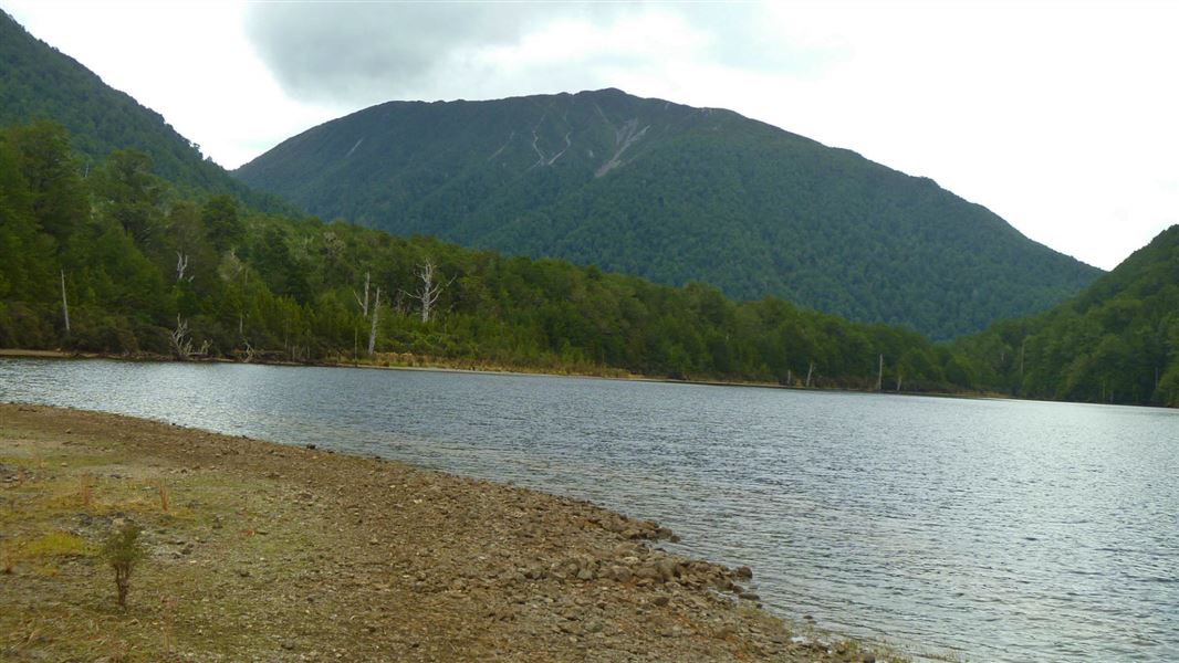
You can walk the route in 1 day but it is worth taking 2 days and camping next to the lake. There are several good spots along the lake edge and cairns mark where to leave the track to find these campsites.
The track to the Otehake River continues to the head of the lake then up a short climb to a saddle between the lake and the river. From there the track drops steeply into the Otehake and another good campsite. The route down the Otehake is mostly on the true right, boulder hopping beside the river, crossing where necessary. This is not possible in rain or if rivers are high. Ford the Otehake again just above where it joins the Taramakau and the walk down the river flats back to Ōtira River.
This trip starts at Aickens car park beside SH73, 5km west of Otira township. You need to ford Otira River to access the Taramakau Valley.
If the Otira River is not easy to ford, postpone your tramp until another day.
Topo Map: NZ Topo 50 Otira BV20, Cass BV21, Moana BU20, Haupiri BU21
Experience: Suitable for well-equipped people with backcountry tramping experience. Rivercrossing and route finding skills are required.
Safety: Fine weather is required when crossing the Otira. Allow adequate time. \Check snow and weather conditions. Navigational skills and ability to judge weather and river conditions are essential. Be prepared to turn back if conditions are not safe.
Note: True right and true left refers to the sides of the valley when looking downstream.
Stay safe in the outdoors
- Choose the right trip for you. Learn about the route and make sure you have the skills for it.
- Understand the weather. Check weather forecasts.
- Pack warm clothes and extra food. Check gear lists.
- Share your plans and take ways to get help. Share directly or use the Outdoor Intentions form or Plan My Walk. Take a distress beacon.
- Take care of yourself and each other.
Arthur's Pass National Park Visitor Centre
| Phone: | +64 3 318 9211 |
| Email: | arthurspassvc@doc.govt.nz |
| Address: | 104 West Coast Road Arthur's Pass 7654 |
| Hours: | Visitor centre hours and services |
