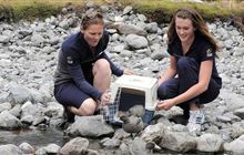
DOC staff members
Image:
DOC
About us
Introduction
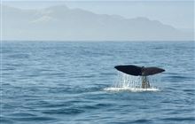
We are the government agency charged with conserving New Zealand’s natural and historic heritage.
Our partners
We work in partnership with iwi, community groups and businesses to achieve more conservation.
Our policies and plans

Our policies, plans and procedures describe how we manage the resources we are entrusted with.

Statutory and advisory bodies

These statutory and advisory bodies report to the Minister of Conservation.