Image gallery
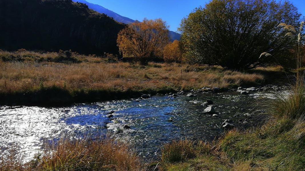
The walking easement begins at the Otamatapaio gorge and follows the river and crosses it a few times. The track takes you past an old stone hut on station land on the way.
To access the Oteake Conservation area, turn off SH 83 on to Backyards road for 2 km to Otamatapaio River CA. There is 4wd access from here for 4 km to the gorge. From a second vehicle park here a marked public walking easement takes you to Otamatapaio Hut.
Avalanches
Oteake Conservation Park has avalanche terrain.
Be avalanche alert in Wakatipu, Wānaka and Central Otago
River crossings
Be aware of recent weather conditions in the catchment headwaters.
Fire
Fire restrictions apply to all conservation land. Check with the local information centres or DOC offices for the current fire status.
Communications
Mobile coverage is not reliable in the park. Satellite phones, mountain radios or personal locator beacons increase personal safety.
Topographical maps are essential for all backcountry trips.
DOC Customer Service Centre
| Phone: | 0800 275 362 |
| Email: | info@doc.govt.nz |
| Address: | Te Manahuna / Twizel Office |