Weather
Always check the forecast before heading out as the weather in this area can change quickly at any time of the year. Avalanches and snow can occur in any season.
Dogs
Dogs and other pets are not allowed in Mount Aspiring National Park. This includes the Sylvan Campsite and the Routeburn Shelter. Dog friendly walks in this area are Glenorchy Walkway, Diamond Creek Walk and Bennetts Bluff Viewpoint Walk.
Mountain bikes
Mountain bikes are not allowed on any of these walks.
Drones
A permit is required to use drones on public conservation land. Find out more information about drone use or apply for a permit.
Mobile phone coverage
Mobile phone coverage is only available in the Glenorchy township – carrying a distress beacon when out on the tracks is always recommended.
Water safety
Be aware that the head of the lake is a challenging place for swimming and can be dangerous. There are strong currents where the river meets the lake, and the lake is very cold.
Rivers
Rivers are affected by the weather and snow melt and can rise and fall very quickly in the Glenorchy area. If you are not experienced in river crossings or identifying unsafe rivers, avoid crossing and use the bridged tracks instead. Always be prepared to change your plans if necessary to avoid unsafe
river crossings.
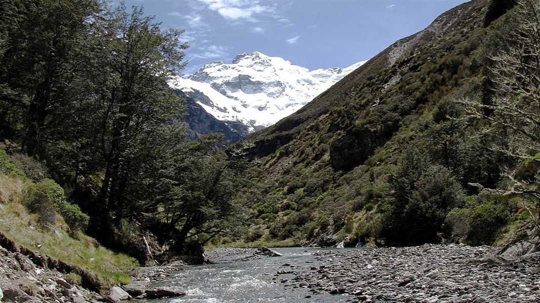
The Glenorchy area has diverse and stunning landscapes.
Glaciers sculpted this mountainous landscape until ice melt started filling Lake Wakatipu some 15,000 years ago. Tectonic uplift and weathering still shape the schist ranges, where it’s not covered by tussock, beech forest or sub alpineshrubs.
Māori first visited the head of the lake in search of pounamu (greenstone) and the extinct, flightless moa. These family groups or hapu, mainly from around Foveaux Strait, left evidence of about 30 summer campsites.
Runholder William Rees and his family were first to settle here in 1860, but two years later the lure of gold brought many more. the head of the lake first attraction was its resources – from gold to scheelite, grazing land to timber – but tourism soon followed.
Commercial mountain guiding began in 1882, on Mt Earnslaw/Pikirakatahi, and within seven years six hotels and guesthouses had been established at the head of the lake.
Tourists relied on boats and pack tracks until the Glenorchy Road opened in 1962. Two years later, Mount Aspiring National Park was formed. By 1990 the park had almost doubled in size and had become part of the Te Wahi Pounamu - South West New Zealand World Heritage Area. This recognises the region’s significance to global landscape conservation.
Whakatipu-wai-Māori/Queenstown Visitor Centre
| Phone: | +64 3 442 7935 |
| Email: | queenstownvc@doc.govt.nz |
| Address: | 50 Stanley Street Queenstown 9300 |
| Hours: | Visitor centre hours and services |
