Image gallery
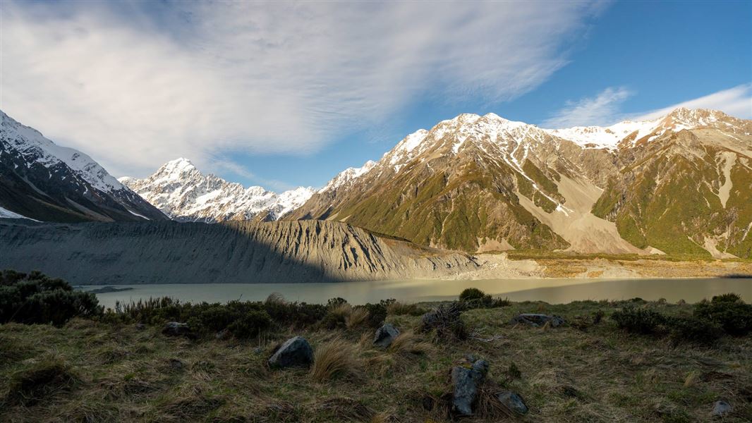
This walk gently winds its way through subalpine grasslands and scrub to the Mueller Glacier moraine wall.
The track passes through a landscape that was formed in 1913 when a stream cut through from the glacier to the original Hermitage site, damaging the building.
The walk ends at a viewing deck that gives stunning views of Mount Sefton, The Footstool, Hooker valley, Mueller Glacier lake and Aoraki/Mount Cook.
There is a height gain of 180 m over 3 km.
Car parking fees
Car parking fees apply at White Horse Hill.
How to pay fees or buy a permit.
The walk is in Aoraki/Mount Cook village. For a longer walk, start from Terrace Road near the Aoraki/Mount Cook Visitor Centre; for a shorter wark, start from White Horse Hill Campground at the end of Hooker Valley Road.
Car parking fees
The track to Mueller Hut starts near the White Horse Hill car park. DOC charges fees for car parking at White Horse Hill.
The fees are $2.50 per half hour or $25 a day. If you arrive and leave within 20 minutes, parking is free. If you plan to stay for longer than 20 minutes you must pay on arrival.
Payment machines that accept debit and credit cards are highly visible at each site. Cash payments are not accepted.
Locals and other car park users can purchase an annual permit. Permits cannot be purchased at the payment machines and need to be purchased online.
Note: If you arrive one day and leave the next you will pay car parking fees for two days ($50). If you plan to stay for multiple days ($50 or more) it may be more affordable for you to purchase an annual permit.
 No unauthorised drone use in the national park
Unauthorised use of drones is prohibited. You must have a permit to fly a drone.
DOC does not generally approve permits to fly drones in this national park and we do not recommend you apply for one.
Nature's in trouble
Thousands of New Zealand’s native species are heading towards extinction. Once they’re gone, they’re gone for good. Nature needs your help.
Aoraki/Mount Cook National Park Visitor Centre
| Phone: | +64 3 435 1186 |
| Email: | mtcookvc@doc.govt.nz |
| Address: | 1 Larch Grove Aoraki/Mount Cook 7999 |
| Hours: | Visitor centre hours and services |