12 km one way
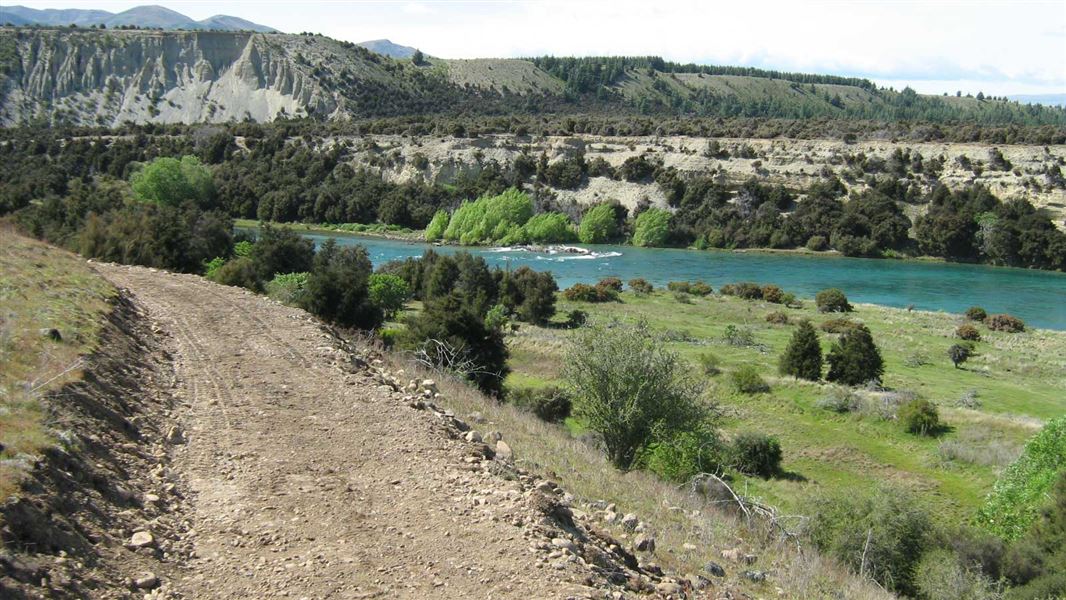
This track enhances public access to the Clutha River where walkers, cyclists and runners are able to enjoy views of the river and panoramic shots of the surrounding peaks.
A loop option is possible when combined with the Upper Clutha River Track, located on the true right of the river.
This cycle track weaves its way around the true left of the Clutha River through typical Otago grasslands, Matagori and Kanuka landscapes. The undulating terrain provides variety for mountain bikers seeking more of a challenge than the trails on the true right of the river.
It was designed by the Upper Clutha Tracks Trust and formed by DOC.
The Newcastle Track is found on the true left of the Clutha River and can be accessed from either the Hāwea River swing bridge; Albert Town or the Kane Road car park.
There is damage on secions of the track - take extra care crossing these. After wet weather, cyclists may need to dismount and carry their cycles over damaged sections.
Stay safe in the outdoors
- Choose the right trip for you. Learn about the route and make sure you have the skills for it.
- Understand the weather. Check weather forecasts.
- Pack warm clothes and extra food. Check gear lists.
- Share your plans and take ways to get help. Share directly or use the Outdoor Intentions form or Plan My Walk. Take a distress beacon.
- Take care of yourself and each other.
Wānaka Tititea/Mount Aspiring National Park
Visitor Centre
| Phone: | +64 3 443 7660 |
| Email: | wanakavc@doc.govt.nz |
| Address: | 1 Ballantyne Road Wānaka 9305 |
| Hours: | Visitor centre hours and services |
