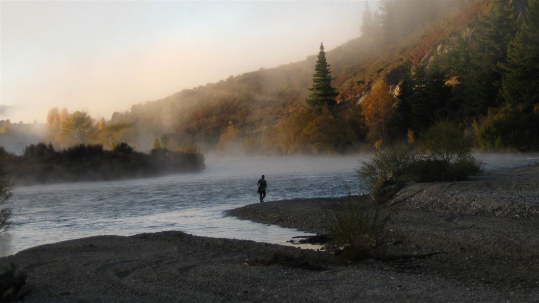
This track, from Albert Town to Luggate, follows along the river bank offering views of the Clutha’s emerald-green water with the odd trout lurking in its shadows.
Joggers, cyclists and walkers will enjoy shade in summer and shelter from the elements in winter.
You can walk the whole length or sections of the track.
A loop option is possible when combined with the Newcastle Track, located on the true left of the river.
Times and distances from carparks
- Albert Town to Cardrona River 1 hr, 2.5 km
- Cardrona River to Stevensons Road 1 -1 hr 30 min, 5 km
- Stevensons Road to Reko’s Point 1 hr, 4 km
- Reko’s Point to Shortcut Road carpark 1 hr, 4 km
- Shortcut Road carpark to Luggate 45 min, 3 km
Fishing
The Upper Clutha River is home to a large population of introduced brown and rainbow trout. Both spinning and fly fishing work well, with fly fishing being the most productive method during the warmer months. A current fishing licence from Fish & Game New Zealand is required.
There are several carpark entrance points to begin or finish at: Albert Town, Cardrona River, Stevensons Road, Reko’s Point, Shortcut Road and Luggate.
This is a shared-use track. Follow the mountain bikers code: respect others, respect the rules, respect the track.
Stay safe in the outdoors
- Choose the right trip for you. Learn about the route and make sure you have the skills for it.
- Understand the weather. Check weather forecasts.
- Pack warm clothes and extra food. Check gear lists.
- Share your plans and take ways to get help. Leave your intentions with a trusted contact and take a distress beacon.
- Take care of yourself and each other.
Wānaka Tititea/Mount Aspiring National Park
Visitor Centre
| Phone: | +64 27 269 6871 |
| Email: | wanakavc@doc.govt.nz |
| Hours: | Visitor centre hours and services |