20.36 km return via same track
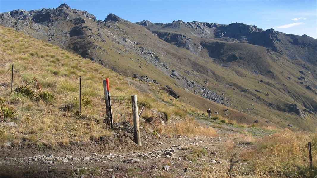
This steep farm track winds its way up a spur above the Tinwald Burn. It gains 1,882 m of elevation over 10 km to reach the top of the Pisa Range.
From the top, you can connect with the Pisa Range Ridge Track to access Mt Pisa and other destinations in the Pisa Conservation Area.
- From Wānaka, drive 40 km south on SH6.
- Turn right into Mount Pisa Road.
- Turn right following the sign for Mount Pisa Station.
- Follow DOC signage to detour away from the station buildings and reach the public car park – leaving any gates as you find them. Note the last 3 km to the car park are on a narrow farm track. Depending on conditions, a 4WD may be required.
Weather
In summer, very hot and dry conditions are common. Carrying an adequate supply of both drinking water and sun protection is essential.
In winter, mountaineering experience is required along with knowledge of avalanche conditions.
Adverse weather: The weather can change rapidly in New Zealand. Hypothermia is a real risk even in summer. Be prepared by having warm, waterproof, windproof clothing and the appropriate footwear. Whiteout conditions caused by snow or low cloud may be present.
Check the Roys Peak weather forecast – NIWA website.
Be avalanche alert: This area has terrain that can produce avalanches that cross the track, usually from May into November.
Firearms
Firearms are not permitted on easements through private property including transportation in vehicles. Entry with a firearm is only allowed via Rock Peak Track.
Dog access
Dogs are allowed in the Pisa Conservation Area, but entry and exit is restricted to the Rock Peak Track. All other entry points are via easements through private property and require landowner permission to enter with a dog including transporting them in vehicles.
Private property
This track crosses private land. Respect the landowner's livestock and property: stay on the marked track until you reach the conservation land, leave gates as you find them and use stiles where provided. Livestock can be unpredictable – keep your distance at all times or go around if necessary.
No camping until the conservation area boundary.
Stay safe in the outdoors
- Choose the right trip for you. Learn about the route and make sure you have the skills for it.
- Understand the weather. Check weather forecasts.
- Pack warm clothes and extra food. Check gear lists.
- Share your plans and take ways to get help. Share directly or use the Outdoor Intentions form or Plan My Walk. Take a distress beacon.
- Take care of yourself and each other.
Wānaka Tititea/Mount Aspiring National Park
Visitor Centre
| Phone: | +64 3 443 7660 |
| Email: | wanakavc@doc.govt.nz |
| Address: | 1 Ballantyne Road Wānaka 9305 |
| Hours: | Visitor centre hours and services |
