11 km loop
The track is closed for lambing 1 October – 30 November each year.
The length and distance of the track includes the Bannockburn Sluicings Track.
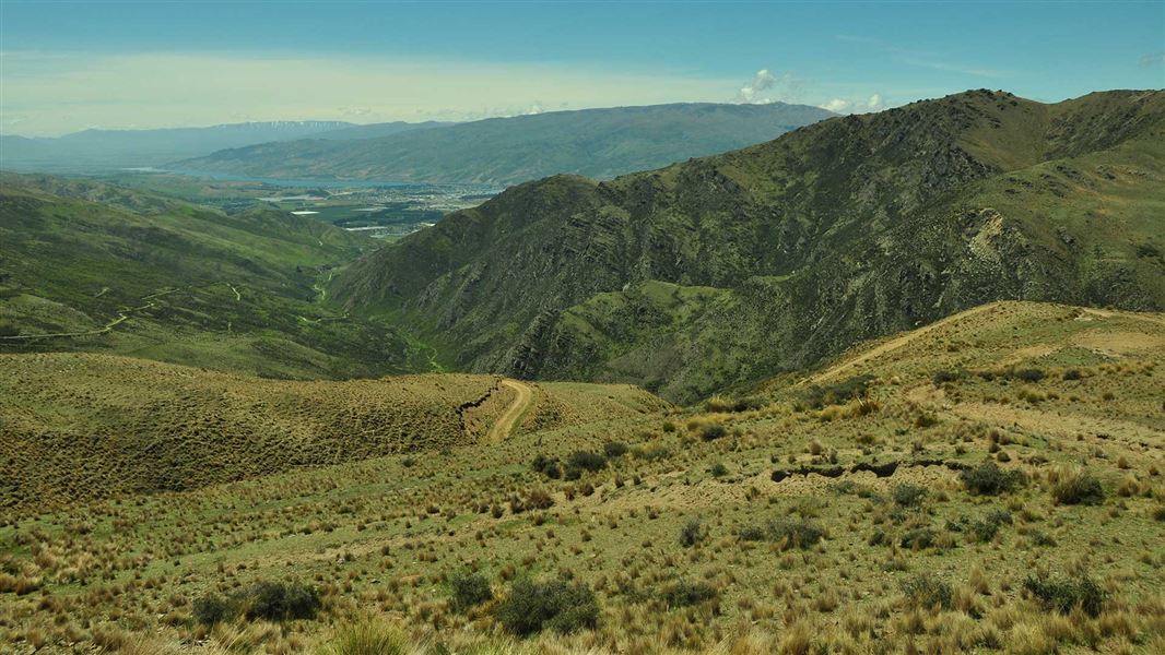
The beginning of the Long Gully Loop Track goes through the ruins of Stewart Town, an old mining village. The track takes you through farmland up to dramatic rock bluffs.
The eastern part of the loop is on a formed 4WD track. As you climb the dramatic views of the Lake Dunstan and the St Bathans Range unfolds. The track cuts through the northern corner of the conservation area where grey shrubland and kowhai nestles among the dramatic rock bluffs.
The track climbs to a height of 450 m and is steep and rocky in places.
Long Gully Loop track also provides access to Slapjack Saddle Track and Mt Difficulty Track.
From Felton Road, walk up the Bannockburn Sluicing Track for 2 km and turn off to Long Gully Loop Track at Stewart Town.
Most of the tracks in this area cross private property - stay on the tracks and roads and leave gates as you find them.
This is a very dry area with no water on the tracks - take water with you.
There are no designated campsites or huts in this area - do not camp on private land.
Remember that all rocks, historic artefacts (including earth and stone works), native plants and animals are protected on public land - tread carefully and take only photos.
Stay safe in the outdoors
- Choose the right trip for you. Learn about the route and make sure you have the skills for it.
- Understand the weather. Check weather forecasts.
- Pack warm clothes and extra food. Check gear lists.
- Share your plans and take ways to get help. Share directly or use the Outdoor Intentions form or Plan My Walk. Take a distress beacon.
- Take care of yourself and each other.
Wānaka Tititea/Mount Aspiring National Park
Visitor Centre
| Phone: | +64 3 443 7660 |
| Email: | wanakavc@doc.govt.nz |
| Address: | 1 Ballantyne Road Wānaka 9305 |
| Hours: | Visitor centre hours and services |
