2 km return via same track
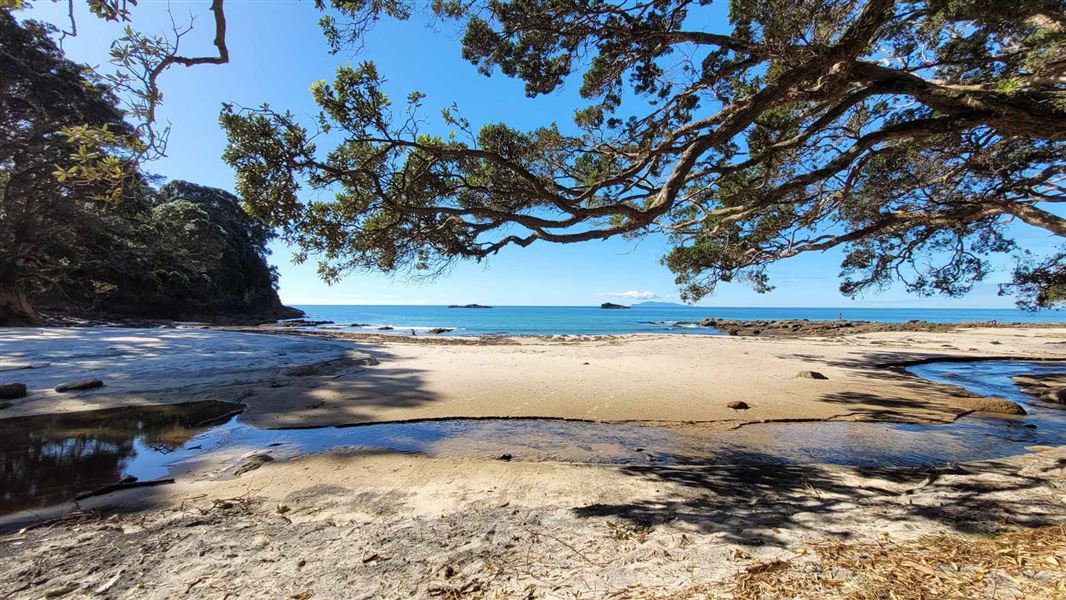
From the car park walk across the beach and then you will need to cross the Ramarama Stream. The depth of this stream varies as the sand moves but is typically around less than 1 m deep.
From the other side of the stream the track climbs up through coast forest dominated by pohutakawa trees. As the track continues along the coastline there are some steep cliffs, so keep a close eye on children.
The track follows a thin strip of native forest sandwiched between the neighbouring farmland and the rugged coast before descending to the sandy Waimama Beach.
To return you need to come back the same way.
Whiritoa is 18 km north of Waihi and 14 km south of Whangamatā.
In Whiritoa, turn into Whiritoa Beach Road from SH25. Turn left into Tavern Lane and then left into Fishermans Bend. Follow to the end of the road.
Park at the car park at the north end of Fishermans Bend at Whiritoa Beach.
The track involves a river crossing to get to the start. This maybe impassable in some weather or tidal conditions.
Stay safe when crossing rivers and streams
If you plan to cross unbridged rivers or side streams, know how to cross safely and be prepared for if you cannot cross.
Do not cross if the river or stream is flooded, you cannot find safe entry and exit points or are unsure it’s safe. Turn back or wait for the river to drop. If in doubt, stay out.
NIWA river flow forecasts: View a video of national followed by regional river flows
Water safety
If you plan to enjoy the water, learn how to stay safe when swimming, boating and fishing.
Kauaeranga Visitor Centre
| Phone: | +64 7 867 9080 |
| Email: | kauaerangavc@doc.govt.nz |
| Address: | 995C Kauaeranga Valley Road Thames 3577 |
| Hours: | Visitor centre hours and services |