45 km one way
Link Road to Bog Inn Hut
Time: 3 hr 30 min
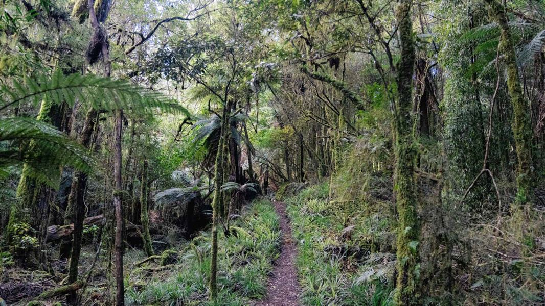
Follow the track to Mt Pureora from Link Road before dropping down a southern ridge of the mountain to Bog Inn Hut.
Bog Inn Hut to Waihaha Hut
Time: 8 hr 30 min
After skirting the bog, climb the ridge to Mt Weraroa (3 hr), turn east and drop steeply to the Waihora Track junction (1 hr 30 min). The track continues onto the Waihaha Hut (4 hr).
Waihaha Hut to Hauhungaroa Hut
Time: 7 hr
Continue upstream from the Waihaha Hut on the true left of the Waihaha River. Just to the south of Te Awaiti Stream, the track turns southwest and climbs the ridge onto the crest of the Hauhungaroa Range. Follow the crest south and the track continues to the Hauhungaroa Hut.
Hauhungaroa Hut to Mangakahu Valley Road
Time: 2 hr 30 min
From the Hauhungaroa Hut continue following the crest south past Mt Motere before dropping down to the head of the Mangakahu Valley and the road end.
The track starts from Link Road. From SH30, turn onto Maraeroa Road, then Barryville Road, then Link Road. The start of the track is about 14 km along Link Road. The carpark is on the opposite side of the road to the track entrance. Note, the track on the same side as the car park is a different track.
NZTopo50 maps sheets: BF35, BG34, BG35
Stay safe in the outdoors
- Choose the right trip for you. Learn about the route and make sure you have the skills for it.
- Understand the weather. Check weather forecasts.
- Pack warm clothes and extra food. Check gear lists.
- Share your plans and take ways to get help. Leave your intentions with a trusted contact and take a distress beacon.
- Take care of yourself and each other.
DOC Customer Service Centre
| Phone: | 0800 275 362 |
| Email: | tekuiti@doc.govt.nz |
| Address: | Te Kūiti Office |