3.4 km one way
Ruapane Track starts at the Waite Road car park and goes up a slippery gully before reaching the bush edge. From here, the track follows a ridge that becomes steeper as it reaches the junction of the Tirohonga Track.
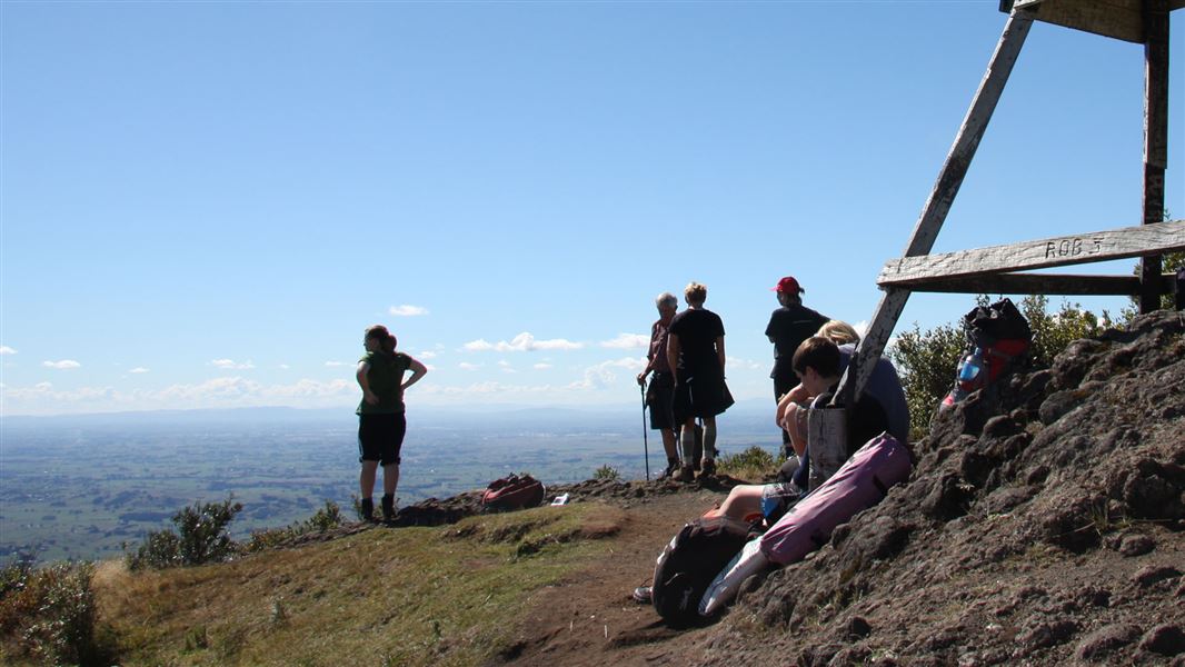
Continue along Tirohonga Track a short way up a rocky outcrop to reach the Ruapane Trig (723 m).
You can return along the same track, or take Tirohanga Track to Corcoran Road end.
5.5 km north of Pirongia, turn off State Highway 39 onto Te Pahu Road, which is signposted for Pironga Forest Park. After 4.7 km, turn into Waite Road and follow this to the end.
Pack everything on the day hike packing list, including a waterproof raincoat, warm clothes and spare food.
Because of poorly drained soils, the tracks can be very muddy and slippery, especially after rain. We recommend sturdy shoes with good grip.
Check the Pirongia Mountain weather forecast – NIWA website
DOC Customer Service Centre
| Phone: | 0800 275 362 |
| Email: | waikato@doc.govt.nz |
| Address: | Te Rapa Base |