12 km return return via same track
Avoid using the access road over the lambing/calving period from 20 October to 20 November each year.
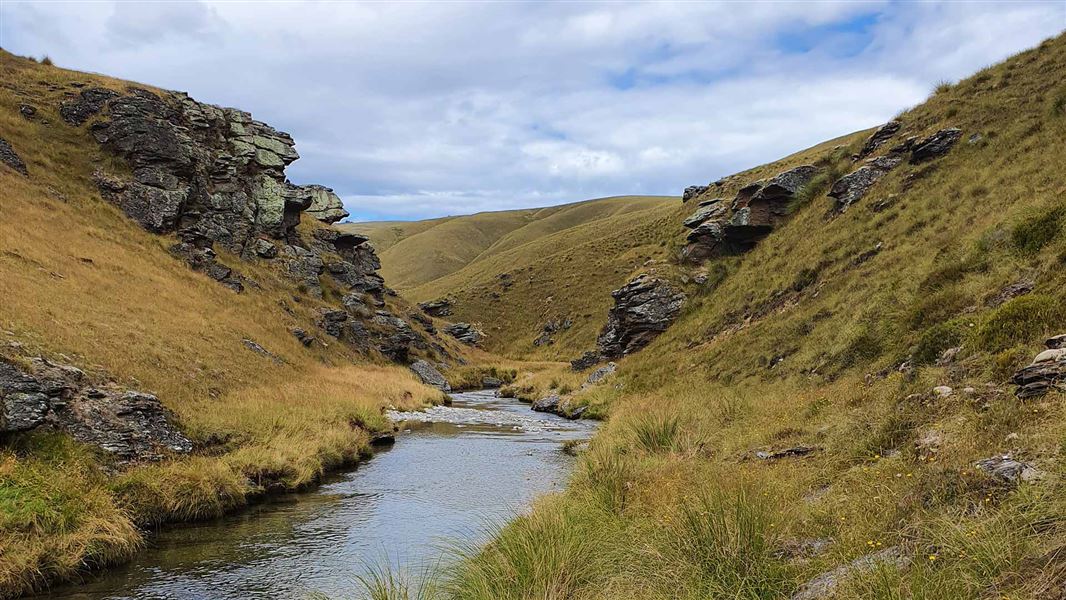
An unmarked route allowing foot access from Cattle Yard carpark drops down a steep bank to the Pomahaka River Reserve. Travel upstream along the true right of the river to reach the first of three small sections of conservation area.
It is possible to extend the journey by parking at the Pomahaka Bridge from where you can walk, mountain bike or ride a horse along the farm access to the Cattle Yard carpark. This adds an extra 10 km (2-3 hours walking time) to a return trip.
The Pomahaka Conservation area lies on the eastern side of the Umbrella range between Roxburgh and Ettrick, SH8; off Aitcheson Runs Road in the Upper Catchment of the Pomahaka River, 32 km from Ettrick (42 km from central Roxburgh).
There are various entry points on gravel road from SH8 to the Pomahaka Conservation Area.
From Ettrick the most direct is following Moa Flat road (opposite Turners and Growers warehouses) right onto MacKay Road and finally right onto Aitchenson Runs Road.
The Pomahaka bridge marks the start of the 4.7 km 4WD road access to the carpark at the Cattle Yards. The road from the bridge to the carpark with road slumps and two fords is more suited for 4WD vehicles. This road passes through a working farm. When using the access road be mindful of farming operations, including the landowners request to avoid using the road over the lambing/calving period from 20 October to 20 November annually.
This public access track crosses through a working high-country station. Respect the landowner’s livestock and property; stay on the marked track until you reach the conservation lands, leave gates as you find them and use stiles where provided.
The Nobbies Track gets rutted and slippery in wet conditions and is not suitable for vehicles.
In this area summers tend to be mild and winters are cold with frequent frosts. Moderate rainfall throughout the year is mostly from the southwest and fog is common at any time of year. In summer carry plenty of water.
The higher country is subject to snow during the winter months and some sections may be prone to avalanche danger.
Rivers in this region can rise rapidly, if crossing be prepared to wait if necessary.
Fires are not permitted.
There are no huts in the conservation area, camping is permitted. Responsible camping rules apply – carry in, carry out, leave no trace. Camping is permitted on conservation land only.
Stay safe in the outdoors
- Choose the right trip for you. Learn about the route and make sure you have the skills for it.
- Understand the weather. Check weather forecasts.
- Pack warm clothes and extra food. Check gear lists.
- Share your plans and take ways to get help. Share directly or use the Outdoor Intentions form or Plan My Walk. Take a distress beacon.
- Take care of yourself and each other.
Wānaka Tititea/Mount Aspiring National Park
Visitor Centre
| Phone: | +64 3 443 7660 |
| Email: | wanakavc@doc.govt.nz |
| Address: | 1 Ballantyne Road Wānaka 9305 |
| Hours: | Visitor centre hours and services |
