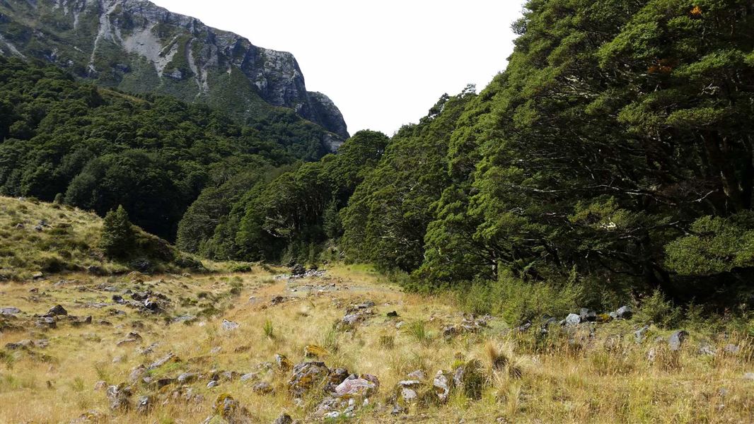
Follow this irregularly marked track through beech forest up to a basin. In some places, you must follow the creek bed.
The track finishes just above 1000 metres in altitude before getting to Scott Basin.
The track is signposted near the Scott Creek bridge north of Glenorchy, along the Routeburn Road.
Warning: This track is irregularly marked, steep and in parts obscure and washed out. It requires river crossings, which can be dangerous during high rainfall. You can be bluffed out at the saddle in poor visibility.
Not recommended for children, route finding skills essential.
Please note that Scott Creek hut has been removed.
Kārearea swooping
A Kārearea/NZ falcon is reported to be swooping people walking this track.
Kārearea/NZ falcon defend their nests actively and may dive bomb people up to 400 m from their nest. We recommend that you keep away from nests or any areas where the birds are acting defensively.
Don’t try to strike a Kārearea/NZ falcon. You could injure it and place the Kārearea/NZ falcon chicks in danger.
Stay safe in the outdoors
- Choose the right trip for you. Learn about the route and make sure you have the skills for it.
- Understand the weather. Check weather forecasts.
- Pack warm clothes and extra food. Check gear lists.
- Share your plans and take ways to get help. Leave your intentions with a trusted contact and take a distress beacon.
- Take care of yourself and each other.
Whakatipu-wai-Māori/Queenstown Visitor Centre
| Phone: | +64 3 442 7935 |
| Email: | queenstownvc@doc.govt.nz |
| Address: |
50 Stanley Street |
| Hours: | Visitor centre hours and services |