Image gallery
Brochures
From the car park, cross Coopers Creek and follow the marked track to the bridge over the east branch of Coopers Creek. Climb gradually through scattered pockets of beech forest, and then more steeply through snow tussock.
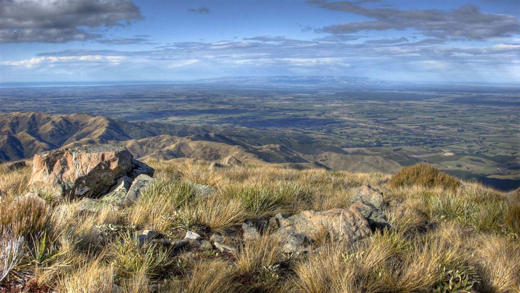
From the summit of Mt Oxford (1364 m) there are good views of the Canterbury Plains and into Lees Valley.
An alternate descent returns to the car park at View Hill, or you can loop back to Coopers Creek car park via Ryde Falls Track (7-8 hr round trip).
2 km south of Oxford, turn off SH72 (Inland Scenic Route) onto Woodside Road. Follow this for 7 km, then turn into Mountain Road and continue to Coopers Creek car park at the end.
Wasp populations reach high numbers from January to March – wear light-coloured clothing and carry antihistamine cream/tablets as a precaution.
Stay safe in the outdoors
- Choose the right trip for you. Learn about the route and make sure you have the skills for it.
- Understand the weather. Check weather forecasts.
- Pack warm clothes and extra food. Check gear lists.
- Share your plans and take ways to get help. Share directly or use the Outdoor Intentions form or Plan My Walk. Take a distress beacon.
- Take care of yourself and each other.
Arthur's Pass National Park Visitor Centre
| Phone: | +64 3 318 9211 |
| Email: | arthurspassvc@doc.govt.nz |
| Address: | 104 West Coast Road Arthur's Pass 7654 |
| Hours: | Visitor centre hours and services |
