Image gallery
Brochures
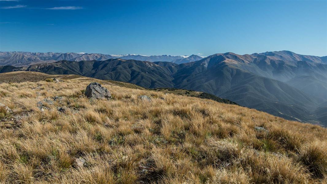
Branch off Wharfedale Track about 20 minutes from View Hill car park. Follow the ridge through forest eventually opening onto tussock grassland as you head towards Mt Oxford summit.
4 km south of Oxford, turn off SH72 (Inland Scenic Route) onto Woodstock Road. Follow this for 10 km then turn into Ingrams Road, then into Limeworks Road, which becomes Perhams Road. An AA sign here indicates the turn-off to the start of the Wharfedale Track where the View Hill car park is located.
In times of heavy rain two fords on Perhams Road may become impassable and the road may be muddy. 4WD vehicles are advisable.
Wasp populations reach high numbers from January to March – wear light-coloured clothing and carry antihistamine cream/tablets as a precaution.
Stay safe in the outdoors
- Choose the right trip for you. Learn about the route and make sure you have the skills for it.
- Understand the weather. Check weather forecasts.
- Pack warm clothes and extra food. Check gear lists.
- Share your plans and take ways to get help. Share directly or use the Outdoor Intentions form or Plan My Walk. Take a distress beacon.
- Take care of yourself and each other.
Arthur's Pass National Park Visitor Centre
| Phone: | +64 3 318 9211 |
| Email: | arthurspassvc@doc.govt.nz |
| Address: | 104 West Coast Road Arthur's Pass 7654 |
| Hours: | Visitor centre hours and services |
