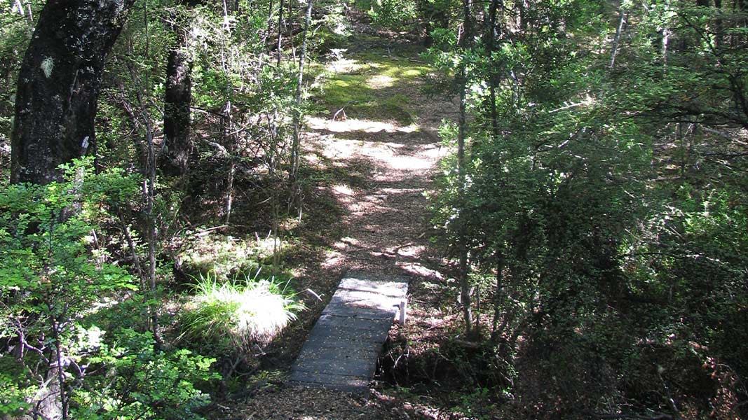
500 m one way
Please note that this track is not well marked, and Water Intake Road does not exist on many maps.
From Thomas Bush carpark, follow the gravel road (Water Intake Road) for 1 km, keeping right at the road fork. The road ends at the Thomas River (Water Intake).
There is presently no sign or markers marking the Water Intake walking track. There is a small sign on a tree indicating the “Marbar Track”. Follow this track, taking the slightly uphill right branch 80 m from its start.
The track slowly climbs for a further 300 m until it meets the Hogs Back Easy Up Track. Turning right, it is 1.2 km (20 min) back to the Thomas Bush carpark. Turning left it is 1.6 km (25 min) to the Hogs Back track junction.
You can start this track from Water Intake Road, reached by walking from Thomas Bush car park. The carpark is located about 200 m beyond the end of the Castle Hill village (houses) on Castle Hill Drive.
It can also be started from the Hogs Back Easy Up Track.
This track is not marked/signposted
There is no DOC signage or markings through this track. The track also takes a slightly shorter route than is shown on the current topographic map. Water Intake Road (where the track starts) also does not exist on many maps.
For a marked track, we recommend a walk on Thomas River Track instead.
Be ready for alpine weather
This is an alpine area and people should be prepared for extremes of weather. Always check the forecast before you go. Weather forecasts for Mt Cheeseman and Canterbury High Country
Carry warm layers, a waterproof raincoat and sun protection. Find packing lists here.
Expect wasps, especially in summer and early autumn
Wasp populations reach high numbers from January to March – wear light coloured clothing and carry antihistamine cream/tablets as a precaution.
Arthur's Pass National Park Visitor Centre
| Phone: | +64 3 318 9211 |
| Email: | arthurspassvc@doc.govt.nz |
| Address: | 104 West Coast Road Arthur's Pass 7654 |
| Hours: | Visitor centre hours and services |
