From the car park, walk towards Castle Hill village on Castle Hill Drive for 300 m. Turn onto Trelissick Loop Rd and follow that for a further 220 m to Thomas River Track start. Follow the track for 200 m into Thomas River and cross the river. This river can rise extremely rapidly during rainfall, do not to attempt to cross it if the river is running high or discoloured.
Continue following the track for a further 150 m to the turn-off to the Leith Hill Loop track. After 150 m on this track a junction is met, the right-hand track is the normal ascent track, and the left-hand track is the easier return route on the loop.
Follow the right-hand track into the beech forest. The track follows a high terrace above the Thomas River. After 500 m the short link track to the Thomas River track is met (300 m, 5 mins).
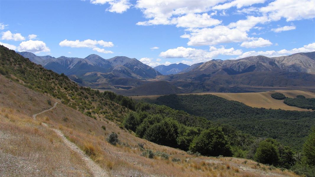
Continuing on the loop track, the track climbs onto a ridge, then continues climbing, getting progressively steeper as you approach tree-line. The track breaks tree-line and gently sidles around to the highest point on the loop at 1014 m with wide mountain views over the Castle hill basin.
The return route on the loop track re-enters the beech forest, descending rapidly on steep track back to the lower river terraces and meeting the ascent track junction. There are two unbridged creek crossings on this section of track that can pose a problem in heavy rainfall.
Alternative route into the track:
Terraces Link Track
Time: 5 min / 300 m one way.
Walkers / Mountain Bikes (Intermediate)
Description: The track starts about 50 m east of the St Andrews College Lodge Rd on the Thomas River track, joining the Leith Hill Loop ascent track about 500 m from its start.
The best place to start this track is Thomas Bush car park. The carpark is located about 200 m beyond the end of the Castle Hill village (houses) on Castle Hill Drive.
Be careful when crossing unbridged streams/rivers
There are unbridged crossings of Thomas River and creeks on this track. These can rise fast during wet weather. Do not cross if the river is running high or is discoloured.
A bridge crossing is available on the St Andrews College road; it can be accessed half way along the Thomas River Track. From here it is 300 m back to the Thomas Bush carpark.
Be ready for alpine weather
This is an alpine area and people should be prepared for extremes of weather. Always check the forecast before you go. Weather forecasts for Mt Cheeseman and Canterbury High Country
Carry warm layers, a waterproof raincoat and sun protection. Find packing lists here.
Expect wasps, especially in summer and early autumn
Wasp populations reach high numbers from January to March – wear light coloured clothing and carry antihistamine cream/tablets as a precaution.
Arthur's Pass National Park Visitor Centre
| Phone: | +64 3 318 9211 |
| Email: | arthurspassvc@doc.govt.nz |
| Address: | 104 West Coast Road Arthur's Pass 7654 |
| Hours: | Visitor centre hours and services |
