Video
Brochures
See the classic kiwi holiday baches (around 30) that remain on Rangitoto Island today, largely unchanged since the 1930s. Many of the baches can be seen by taking the track from Rangitoto Wharf to Flax Point. Bach 38, adjacent to Rangitoto Wharf, has been turned into a museum about the history of this unique piece of kiwiana.
Find out more about Rangitoto Island bachs and the Bach 38 museum.
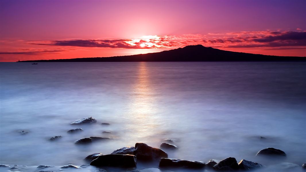
Rangitoto Island is in the Hauraki Gulf close to Auckland city.
There are two wharves – Rangitoto Wharf, serviced by public ferries; and Islington Bay Wharf, a popular anchorage for private boats. Private boats may use the wharves for loading and unloading passengers only.
You can take a public passenger ferry or charter. Ferry timetable and fares.
Staying overnight
Three historic baches are available to rent. Bach 78 and Bach 114 are located at Islington Bay and Bach 52 is located at Rangitoto Wharf. More about staying overnight.
Find authorised transport operators to this island.
Rangitoto is also accessible to experienced kayakers. It takes around two hours to kayak to Rangitoto Wharf from the Auckland's North Shore.
Be prepared when visiting Rangitoto Island
- Bring your own food and water. There are no shops on the island.
- Wear sturdy walking shoes that can cope with the rugged lava surfaces.
- Wear sunscreen and a hat. The heat reflecting off the ground can be intense.
Wasp presence increases over the warmer months. If you have an allergy to wasp stings make sure you have appropriate medications to deal with any reactions.
There is a total fire ban on Rangitoto Island.
All access to the controlled mine base is not allowed until further notice. This is because there's asbestos at the site.
Take care not to miss your ferry. There is no overnight accommodation and alternative transport back to the mainland is expensive.
Rules for the Hauraki Gulf Maritime Park
- Fires and portable barbeques are not allowed.
- Take your rubbish with you – there are no rubbish bins.
- No camping.
- Some activities such as weddings need a permit.
- Commercial filming needs a permit.
- Commercial guides need a permit.
These are part of the Hauraki Gulf Maritime Park by-laws. Read the full by-laws.
All drone use must be authorised by DOC
You must have a permit to fly a drone on public conservation land.
Visit our Drone use on conservation land page for more information.
Rangitoto Island is known for its contrasting rugged lava terrain and abundant native plant life. It has the largest pōhutukawa forest in the world, and is a safe haven for endangered native birds. Read about nature and conservation on Rangitoto Island.
Rangitoto Island is one of the youngest land masses in the Hauraki Gulf/Tīkapa Moana, but it has a long human history. Read the Māori and European history of Rangitoto Island.
From 1935-1957, it was also considered a prime location for military operations as it sits between both channel approaches to Auckland Harbour. Read about the military defences on Rangitoto Island
 No dogs allowed
To protect our native wildlife, dogs are not allowed anywhere in this place.
Check you are pest-free
Check, clean, and seal your gear to ensure you don't bring pests, soil, and seeds.
Auckland information
| Phone: | +64 7 867 9080 |
| Email: | kauaerangavc@doc.govt.nz |
| About: | Kauaeranga Visitor Centre provides visitor information for this area |