8.7 km
There is a large slip on this track. Detour not passable during or after heavy rainfall or when the river flow is high.
Image gallery
The track begins at the end of Waiohine Gorge Road. Cross the river over the high bridge, then take the right hand track, leading up the valley.
Follow the track up the true right of the Waiohine River. The track crosses various side streams, some of which are unbridged.
Just before Makaka Creek (Long Flat Creek), the track reaches a junction. The Cone Saddle Track meets the Lower Waiohine Track at this junction, after descending from Cone Saddle. Continue up the valley, following the signs towards Totara Flats Hut.
There is a large slip upstream in the Waiohine Valley from Makaka Creek. The only option for passing the slip is to walk upstream on the river terrace from Makaka Creek. This option is only possible when the river is low; if in doubt, be prepared to turn back.
After the slip, the track continues upstream. It climbs onto a high river terrace then drops back down to the river.
Not far after descending to the river, you can see Sayer Creek on the true left side of the Waiohine River (the bank opposite the Lower Waiohine Track). Sayer Hut is situated near the confluence of Sayer Creek and the Waiohine River. You can reach the hut by crossing the Waiohine River; however, there is no bridge and the Waiohine is a large river, so only attempt this if you have good river crossing skills and the river conditions are favourable (low flow, no rain forecast).
Continue on the Lower Waiohine Track up the Waiohine Valley, across the grassy flats known as Totara Flats. The track re-enters the bush at the end of the flats, then arrives at Totara Flats Hut.
The hut sits in a clearing on river flats above the Waiohine River.
Lower Waiohine Track begins at the end of Waiohine Gorge Road (nearest towns Carterton and Greytown). Waiohine Gorge Road is gravel with rough, narrow, and windy sections. There are two forded stream crossings. Drive carefully.
Expect a backcountry tramping track
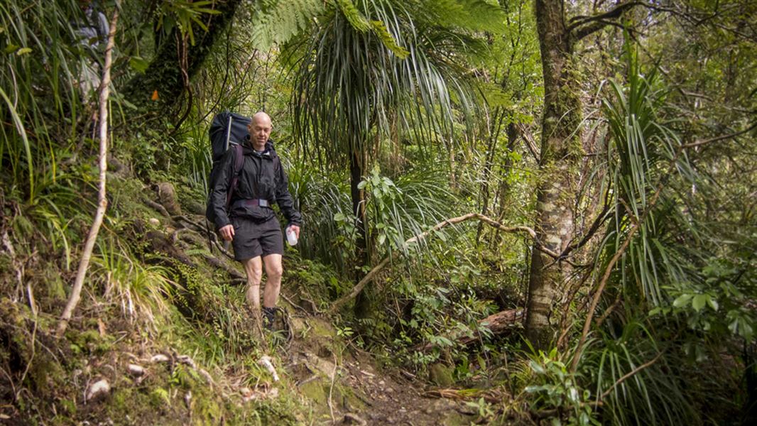
This track is a typical Tararua backcountry tramping track. It is rough, uneven and unformed in places, and you can expect to be scrambling up and down tree roots and over rocks. It gets very slippery and muddy, especially after rain.
Plan extra time
This track can be challenging, especially for newer trampers. Some people find this track takes them longer than they expect. Plan your day with extra time and pack a head torch, in case the track takes longer than anticipated.
Pack for bad weather
The Tararua Ranges are well known for wild, fast-changing and unpredictable weather. Anytime you go into the Tararua Forest Park, pack warm and waterproof clothing (even if the forecast is good).
Find a tramping packing list here.
Stay safe when crossing streams and rivers
There are unbridged side streams on this track. They are normally safe to cross but can flood and become dangerous after heavy rain.
Going to Sayers Hut requires an unbridged crossing of the Waiohine River. This is a large river, so only attempt this if you have good river crossing skills and the river conditions are favourable (low flow, no rain forecast).
Assess all streams and rivers before crossing and do not cross if they are flooded, you cannot find safe entry and exit points or are unsure it’s safe.
Stay safe in the outdoors
- Choose the right trip for you. Learn about the route and make sure you have the skills for it.
- Understand the weather. Check weather forecasts.
- Pack warm clothes and extra food. Check gear lists.
- Share your plans and take ways to get help. Share directly or use the Outdoor Intentions form or Plan My Walk. Take a distress beacon.
- Take care of yourself and each other.
Wellington/Kapiti information
| Phone: | +64 3 546 9339 |
| Email: | nelsonvc@doc.govt.nz |
| About: | Whakatū/Nelson Visitor Centre provides visitor information for this area |
