Image gallery
Fees
Free
Access to the hut is by road off SH57 at Shannon. Follow the road signs to the Mangaore Power Village for around 5 km and past the Mangahao Hydro Electric Power Station. A very winding metal road will take you past the smaller Tokomaru No 3 reservoir and the Mangahao No 2 reservoir where the track starts.
Mangahao Dam No. 2 to Burn Hut
Time: 3 to 4 hours
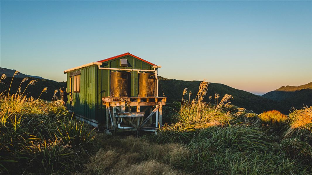
The track starts on the far side of the dam and sidles down the true right of the river for around 1 hour. Just past a wooden bridge the track starts to climb for about another hour to the bush line. Once onto the leather wood covered tops the track follows the ridge for another hour to Burn Hut which is located on a small spur.
Burn Hut to Mangahao Dam No. 1
Time: 3 to 4 hours
From the hut, the track crosses a small saddle then climbs back to the ridge line. After following the ridge for around 1 hour the track sidles behind high point 835m and begins its decent, reaching college stream in another 40 minutes.
Boulder hop down College Stream for about 1 hour to the junction with Baber Creek. This section may be impassable after heavy rain. The track to dam 1 starts again at the junction on the true right. Allow about another hour to the dam.
It is 4km down the road to the start at dam 2.
Location
NZTopo50 map sheet: BN34
Grid/NZTM2000 coordinates: E1813882, N5500310
Wellington/Kapiti information
| Phone: | +64 3 546 9339 |
| Email: | nelsonvc@doc.govt.nz |
| About: | Whakatū/Nelson Visitor Centre provides visitor information for this area |
