Image gallery
This hut is sole occupancy and locked – refer to your booking confirmation for how to obtain the access code.
Facilities provided are:
- gas cooking hob, pots, pans, crockery and cooking utensils
- wood heating
- cold tap water
- composting toilet
You need to bring:
- candles for lighting
- toilet paper
Fees
Fees
The fees are for up to 10 people.
1 May - 30 September
- $100 per night
1 October - 30 April
- Weekdays: $118 per night
- Weekends: $135 per night
1 December - 29 February
- Weekdays: $157 per night
- Weekends: $180 per night
Bookings
Bookings are open for stays up to 30 June 2027.
- If no availability shows online for your dates, the lodge is fully booked.
- No spaces are kept for visitors arriving without a booking.
- Phone and in‑person bookings made at a visitor centre incur a $10 service fee.
- Same‑day bookings are available online until 8 pm if spaces remain.
The Ōrongorongo River is not safe to cross in all conditions. If the river is flooded, rising or there is rain forecast, do not attempt to cross.
You will be eligible for a refund if you had to cancel your stay due to river safety. Contact Nelson visitor services: phone +64 3 546 9339 or email nelsonvc@doc.govt.nz.
Papatahi Hut is a 3 hr 30 min walk from the Catchpool car park via the Ōrongorongo and Big Bend Tracks.
Warning: Accessing the hut requires several river crossings and should not be attempted when the river is in flood or there is sustained rainfall forecast. The Ōrongorongo River is prone to flash flooding.
Papatahi Hut is located on the true right of the Ōrongorongo River, 5 km upstream from Turere Arch Bridge.
From the end of the Ōrongorongo Track follow the marked Big Bend Track for approximately 1 hour to its junction with the Whakanui Track. At this point you enter the riverbed and follow the Ōrongorongo River upstream.
The route contains approximately four crossings of the Ōrongorongo River but this can vary as the river is constantly rerouting in floods. As you move up the riverbed note the Matthews Stream fan and Mount Matthews Track on the true left, and a large slip face on the true left.
Look for the large orange triangle and DOC sign on the true right of the river, near the entrance to an old 4WD track (1769113.65, 5423258.07).
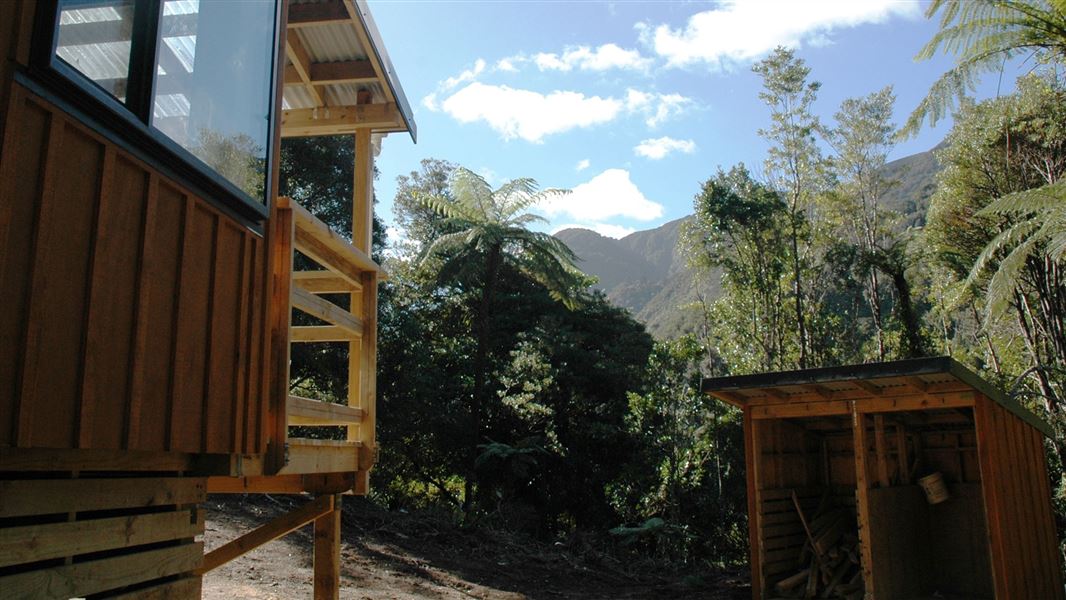
Climb the stairs and follow the marked track to the hut.
Tracks to this hut
-
Duration: 2 hr one way Difficulty: Easy -
Duration: 1 hr 30 min one way from Turere Bridge Difficulty: Intermediate
Location
NZTopo50 map sheet: BQ32
Grid/NZTM2000 coordinates: E1769108, N5423351
Check the flow of the Ōrongorongo River before you go, as flash floods are common. Avoid crossing the river when it's in flood or if there has been sustained rainfall in the area
Look out for the warning signs of an unsafe river: water flowing faster than walking pace, discoloured water, debris in the river, and the sound of rocks rolling in the river bed.
If you aren’t sure it’s safe, don’t risk it – wait for the river to drop (this often happens quickly once rain stops), or change your plans and return another day.
Learn how to cross a river safely on the Mountain Safety Council river skills webpage.
If you want to light a fire (eg for cooking) while in the Remutaka Forest Park, visit www.checkitsalright.co.nz. This will tell you the current fire status and if you need a fire permit. At times of high fire danger, there may be a total ban on fires. Please respect any fire restrictions, they keep native wildlife and visitors safe.
Wellington/Kapiti information
| Phone: | +64 3 546 9339 |
| Email: | nelsonvc@doc.govt.nz |
| About: | Whakatū/Nelson visitor services provide information for this area |