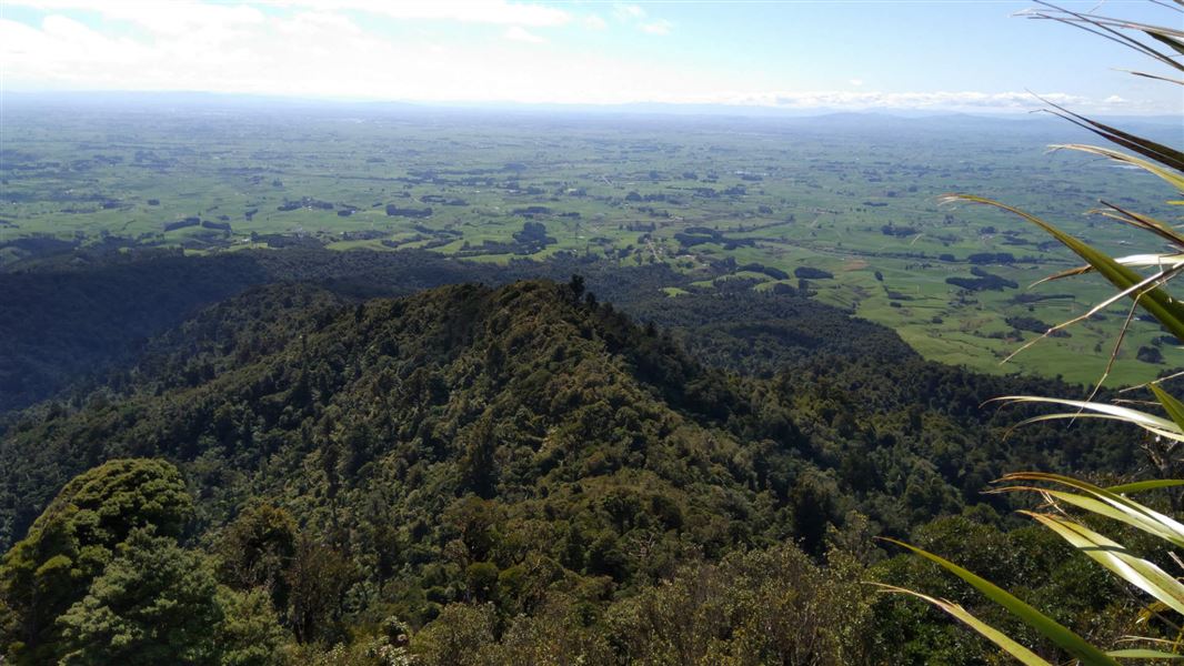
The track crosses private farmland from O’Shea Road car park so please keep to the marked track and use stiles. The bush edge is reached after 30 min and then there is a steep climb up a tawa-covered spur to Wharauroa Lookout (850 m) and the junction with Mahaukura Track.
Another 30 minutes along Mahaukura Track is Mahaukura Lookout (902 m) which has views south toward the King Country.
The start of the track is 6.7 km north of Pirongia. Leave Pirongia on Baffin Street. Turn right into O'Shea Road and follow this to the end.
The start of the track is marked with a sign.
Pack everything on the day hike packing list, including a waterproof raincoat, warm clothes and spare food.
Because of poorly drained soils, the tracks can be very muddy and slippery, especially after rain. We recommend sturdy shoes with good grip.
Check the Pirongia Mountain weather forecast – NIWA website
DOC Customer Service Centre
| Phone: | 0800 275 362 |
| Email: | waikato@doc.govt.nz |
| Address: | Te Rapa Base |