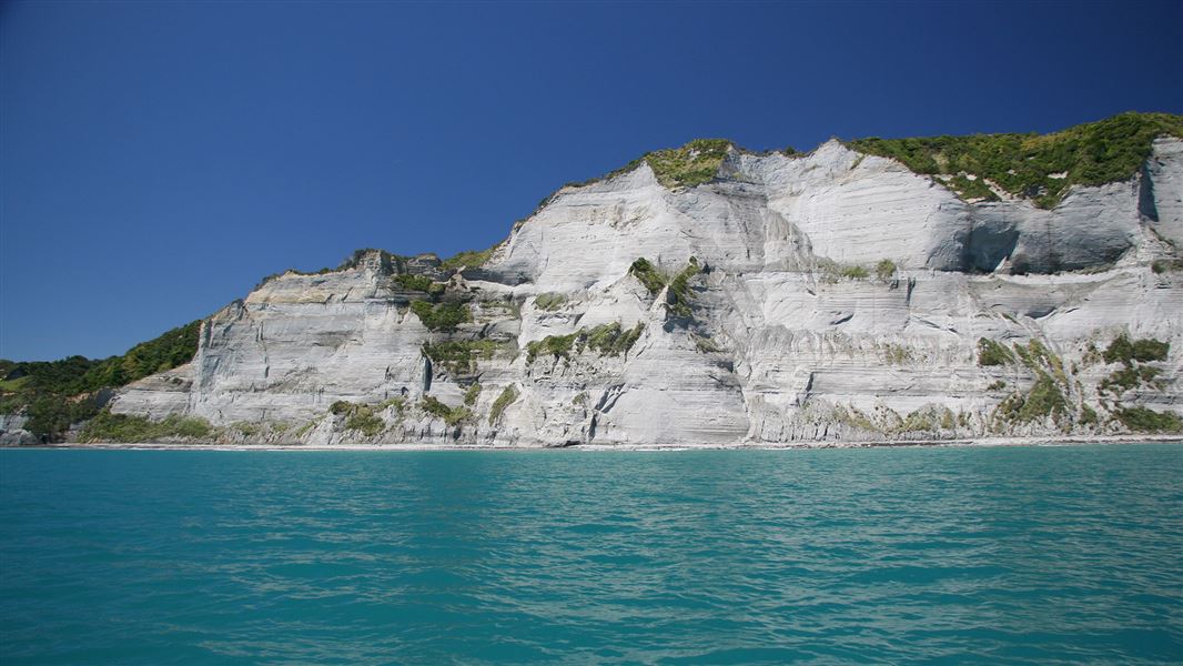
The marine reserve was established in 2006 and is 1,844 hectares.
A good view of the reserve area can be gained from the cliffs above the reserve on the Whitecliffs Walkway.
The reserve can be accessed by boat from the Tongapurutu River, Urenui River, Waitara River (bar crossings), or by travelling one hour north from the New Plymouth boat ramp. There are no charter boats servicing this area.
Road access to the area is via Pukearuhe Road, north of Urenui.
It's illegal to take anything from a marine reserve, including fish, shellfish, lobster, rocks, shells, driftwood or any other natural feature, plant or animal.
You should always check with Coastguard for weather and sea conditions. Coastguard operates on VHF Ch61.
Pariokariwa Reef
The main underwater feature of Parininihi Marine Reserve is Pariokariwa Reef.
This reef extends north from Pariokariwa Point towards the edge of the reserve and is surrounded by fine sediment and mud.
Most of the reef is in the southwest part of the reserve at depths between 5 to 23 meters.Parts of the reef rise up to 9 meters from the seafloor, forming a network of small caves, overhangs, canyons, and pinnacles. These are covered with large colonies of bryozoans (tiny, coral-like animals), colourful sponges, hydroids, anemones, and soft corals.
Whitecliffs/Parininihi
At high tide, the sea reaches the base of the 245-meter high cliffs (Whitecliffs/Parininihi) that stretch between Pariokariwa Point and Katikatiaka Pa. These cliffs form short headlands and small bays with black sand beaches and boulders at their base. Offshore, small reefs surrounded by gravel and sand flats dominate the habitat between depths of 20 to 30 meters.
The area is home to various fish species, large rock lobster populations, and a colourful array of rare and exotic sponges spread across the reefs.
Ngati Tama is one of the eight generally recognised iwi of Taranaki. Their traditional area / rohe is located in northern Taranaki and they have approximately 1,000 members. Parininihi is of cultural, spiritual, historical, and traditional importance to Ngati Tama. In integrated management approach has been established in relation to the marine reserve at Parininihi.
The Joint dvisory Committee (JC), including Ngati Tama, the Conservation Board and DC, has the role of approving a management plan for the reserve.
In pre-European times this area was known to Ngati Tama as a rich fishing ground, and several areas were excluded from the marine reserve to allow for customary as well as recreational fishing.
Protect our marine reserves
- No fishing of any kind.
- Don't take or kill marine life.
- Don't remove or disturb any marine life or materials.
- Don't feed fish - it disturbs their natural behaviour.
- Take care when anchoring to avoid damaging the sea floor.
Taranaki/Egmont National Park Visitor Centre
| Phone: | +64 6 756 0990 |
| Email: | egmontvc@doc.govt.nz |
| Address: | 2879 Egmont Road Egmont National Park 4386 |
| Hours: | Visitor centre hours and services |
