Time:
- 2–3 hr to Lake Sylvan-Rockburn shelter
- 6–8 hr Rockburn shelter to Routeburn car park
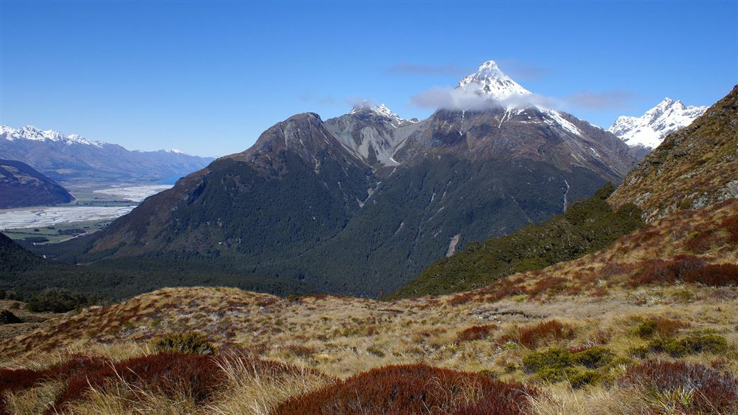
The marked track traverses moraine through beech forest from Lake Sylvan. The Rockburn shelter is nestled in the forest, with a chasm, river beaches and pools closeby. Climb through forest to the fragile Sugarloaf Saddle where there are great views of the Rockburn and Routeburn Valleys. The descent to the Routeburn Track is steep.
You can start this walk at either end by starting at the Routeburn car park or from the Lake Sylvan track which connects to this track.
Stay safe in the outdoors
- Choose the right trip for you. Learn about the route and make sure you have the skills for it.
- Understand the weather. Check weather forecasts.
- Pack warm clothes and extra food. Check gear lists.
- Share your plans and take ways to get help. Leave your intentions with a trusted contact and take a distress beacon.
- Take care of yourself and each other.
Whakatipu-wai-Māori/Queenstown Visitor Centre
| Phone: | +64 3 442 7935 |
| Email: | queenstownvc@doc.govt.nz |
| Address: |
50 Stanley Street |
| Hours: | Visitor centre hours and services |