7 km one way
Image gallery
This is a challenging backcountry tramping track. It is steep, narrow and has drop-offs beside the track. There is lots of scrambling required up and down tree roots and rocky sections.
Although the distance is only 7 km, the track takes 5-6 hours to walk due to technical terrain and many ascents and descents.
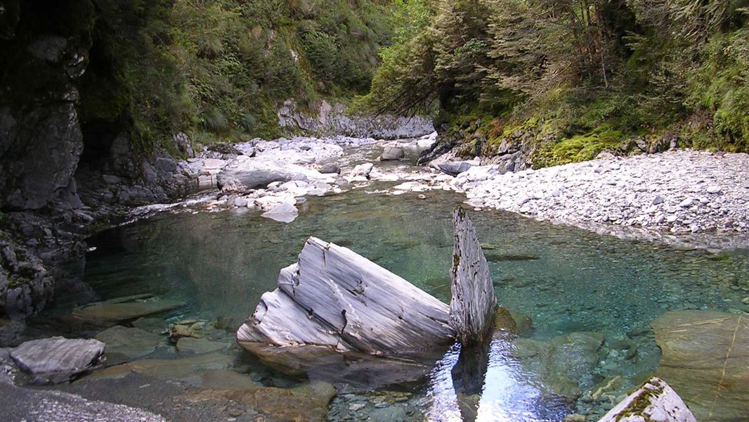
The Cameron Valley’s entrance is a spectacular gorge with towering bluffs and a cascading waterfall.
The track starts from the Cameron Creek carpark and climbs up through a series of small bluffs before sidling around above the gorge – some parts are steep and exposed.
After the gorge the track traverses across a large slip to the river, one of several slips in this valley. This is about two hours from the carpark.
The track crosses the river here. There is no bridge and the river can be impassable during or after rain – check the weather forecast for both your outward and return hike. In spring, snow melt may cause the river to be impassable even in dry weather. Be ready to turn back and carry extra food for delays.
After crossing the river, the track re-enters the forest about 20 m downstream. It climbs steadily, then sidles along the side of the valley, dropping twice to the riverbed and climbing again, before descending to the south branch of Cameron's Creek and a grassy river flat. The marked track ends here.
Cameron Hut is on the true left at the southern end of the flat. There are only four bunks and the hut can be busy in summer, so we recommend carrying a tent.
This track starts at the Cameron Lookout carpark. It is on the Haast Highway (SH6), 70 km north of Wānaka.
Bad weather
The weather can change rapidly in New Zealand. Hypothermia is a real risk even in summer. Be prepared by having warm, waterproof, windproof clothing and the appropriate footwear. Whiteout conditions caused by snow or low cloud may be present. Check the Mount Aspiring National Park weather forecast – NIWA website.
Stay safe when crossing rivers and streams
If you plan to cross unbridged rivers or side streams, know how to cross safely and be prepared for if you cannot cross.
Do not cross if the river or stream is flooded, you cannot find safe entry and exit points or are unsure it’s safe. Turn back or wait for the river to drop. If in doubt, stay out.
NIWA river flow forecasts: View a video of national followed by regional river flows
Cameron Track in winter
Expect slippery and muddy conditions in winter, and sometimes snow. Take extra care.
Stay safe in the outdoors
- Choose the right trip for you. Learn about the route and make sure you have the skills for it.
- Understand the weather. Check weather forecasts.
- Pack warm clothes and extra food. Check gear lists.
- Share your plans and take ways to get help. Leave your intentions with a trusted contact and take a distress beacon.
- Take care of yourself and each other.
Wānaka Tititea/Mount Aspiring National Park
Visitor Centre
| Phone: | +64 3 443 7660 |
| WhatsApp: | +64 27 629 1012 |
| Email: | wanakavc@doc.govt.nz |
| Hours: | Visitor centre hours and services |