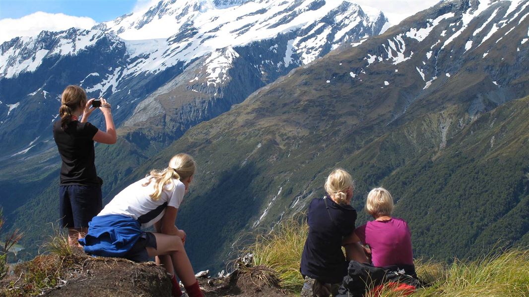
This region’s special features were recognised nationally in 1964 when the park was created, and internationally in 1990 with the establishment of Te Wāhipounamu—South West New Zealand World Heritage Area.
The valley walks cross farmland and beech forest flats, while the higher altitude routes negotiate alpine tussock grasslands and snowfields.
The Matukituki Valley is an hour’s drive west from Wanaka.
Avalanches
There is avalanche danger during winter and spring (June-November) on the Rob Roy Track, Cascade Saddle Route and Pearl Flat to the head of the valley.
Get an update on conditions from the DOC visitor centre before going into these areas.
Beech is the dominant forest in the Matukituki Valley. Red beech prefers warm valley sites, and is common just below Aspiring Hut. Mountain beech dominates the drier, eastern end of the valley, while silver beech increases towards the wetter, western end. Ferns and mosses are a feature of the usually open forest. Above the tree line, at about 1100 metres, stunted, sub-alpine shrub land gives way to alpine tussock grasslands and fell fields.
Insect-eating birds such as fantail/piwakawaka, tomtit/miromiro and rifleman/titipounamu, thrive in beech forest and seed-eating kakariki (parakeet) are common in the red beech. Close to Aspiring Hut the translocated South Island Robin are breeding happily in the beech forest. The paradise shelduck/putakitaki is a conspicuous and noisy feature of the river flats, and in summer spur-winged plover and oystercatcher/torea are common on farmland and along the drive from Wanaka.
The first European to explore the West Matukituki Valley was James Hector in1862. Farming began in the valley in the 1870s.
Wānaka Tititea/Mount Aspiring National Park
Visitor Centre
| Phone: | +64 3 443 7660 |
| Email: | wanakavc@doc.govt.nz |
| Address: | 1 Ballantyne Road Wānaka 9305 |
| Hours: | Visitor centre hours and services |
