15 km
The upper section of the Dry Creek Track - is closed annually for lambing from 10 October to 21 November inclusive.
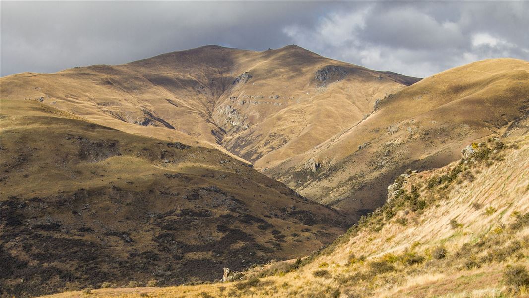
A one hour walk brings you to the start of the Cloudy Peak Track where track markers lead you through the Dry Creek Conservation Area before you commence a steady climb along a 4WD ridge line track to the Neinei i kura Conservation Area. From this point an unmarked 4WD track leads to the 1526 m summit of Cloudy Peak.
From Cloudy Peak a visual highlight of this sprawling landscape is wide open skies and views of the Upper Clutha plains and peaks towards St Bathans and the Lindis.
The car park access to Dry Creek, Cloudy Peak and Neinei i Kura is located on Ardgour Road, Tarras. Ardgour Road is a loop road with access either 2 km north or 6 km South of Tarras.
- In summer, very hot and dry conditions are common so make sure you carry plenty of water and have adequate protection against the sun.
- Alpine conditions may be experienced at any time of the year, with the higher country being subject to snow during the winter months. Ensure you carry suitable clothing and study boots. Be prepared.
- These public access tracks cross through a working high country station. Respect the landowner’s livestock and property; stay on the marked track until you reach the conservation lands, leave gates as you find them and use stiles where provided.
- The Cloudy Peak access through Dry Creek Conservation area to the Neinei i kura Conservation Area is open all year. Contact the Mt Aspiring National Park Visitor Centre for more details.
- Camping is permitted on conservation land only.
Stay safe in the outdoors
- Choose the right trip for you. Learn about the route and make sure you have the skills for it.
- Understand the weather. Check weather forecasts.
- Pack warm clothes and extra food. Check gear lists.
- Share your plans and take ways to get help. Share directly or use the Outdoor Intentions form or Plan My Walk. Take a distress beacon.
- Take care of yourself and each other.
Wānaka Tititea/Mount Aspiring National Park
Visitor Centre
| Phone: | +64 3 443 7660 |
| Email: | wanakavc@doc.govt.nz |
| Address: | 1 Ballantyne Road Wānaka 9305 |
| Hours: | Visitor centre hours and services |
