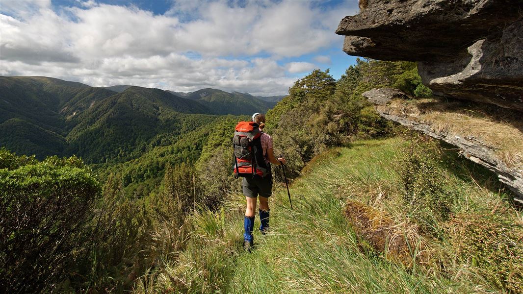
Day 1: Ruahine Corner to Colenso Hut
Time: 4 - 6 hr
From Ruahine Corner Hut, the track follows along a craggy ridge with lovely rock formations to Potae high point, with spectacular views along the way. Due to travel on exposed sections of track this section should not be attempted in poor visibility or bad weather.
From here, the track drops down into Potae Creek. Follow the creek right down to where it joins the Mangatera River and head downstream for approximately 30 min, looking for the sidecreek on the true left that leads to Colenso Hut. There is a narrow part to negotiate at the start of the sidecreek before the valley opens out. Walk up the valley a short way and you will find Colenso Hut situated up on a terrace on the true left.
Day 2: Colenso Hut to Iron Bark Hut
Time: 5 - 6 hr
From Colenso Hut follow the track a short distance to the Lake Colenso turnoff. A short 2 minute track takes you to an excellent vantage point of this very picturesque lake. Continue on the main track passing the track turnoff to the Unknown Campsite and crossing the creek before climbing a long ridge through forest up and then back down to reach the Waikamaka River just downstream from where the Unknown Stream enters. Iron Bark Hut is across the Waikamaka River on the true left.
Day 3: Iron Bark to Otukota Hut
Time: 3 - 4 hr
Follow the Waikamaka River upstream all the way to Otukota Hut. If the river is high you can take a high level track from Iron Bark Hut. Cross the swingbridge just upstream of the hut and follow the track up on to a high ridge before descending back to the Waikamaka River, where you will need to cross the river to reach Otukota Hut on the other side (note this is not a bridged crossing).
Day 4: Otukota Hut to Rangitane Road
Time: 6 - 8 hr
From Otukota Hut climb steeply to the tops of the Mokai Patea Range and pick up the tussock ridge down to Colenso Trig. From here drop steeply down a rocky ridge into forest and down past the old Kawhatau Field Base and into the Kawhatau River. Walk downstream for approximately 9.5 kms to the Rangitane Road bridge.
Due to travel on unmarked tops this section should not be attempted in poor visibility or bad weather.
To make this four day tramping option possible, parties need to arrange helicopter transport to Ruahine Corner Hut. A vehicle needs to be left at the Rangitane Road bridge for transport on completion of the tramp. NB There is no legal access from Iron Bark Hut out to the roadend through Mokai Station.
Stay safe in the outdoors
- Choose the right trip for you. Learn about the route and make sure you have the skills for it.
- Understand the weather. Check weather forecasts.
- Pack warm clothes and extra food. Check gear lists.
- Share your plans and take ways to get help. Share directly or use the Outdoor Intentions form or Plan My Walk. Take a distress beacon.
- Take care of yourself and each other.
DOC Customer Service Centre
| Phone: | 0800 275 362 |
| Email: | manawatu@doc.govt.nz |
| Address: | Te Papaioea / Palmerston North Office |
