From the carpark follow the poled route across the farmland to the forest edge and down to cross Makiekie (Coal) Creek for the first time. Depending on the amount of rain you may end up with wet feet at this crossing. The track then climbs steeply for a short time up onto a river plateau. There is a very short loop track off to the left - Te Ngahere o Tane - which rejoins the main track a few minutes further along. Just past this is a track junction. Take the left track (Knights Track) and after a further 20 min walking meet Makiekie Creek for the second time. This is an ideal spot for a picnic and a paddle.
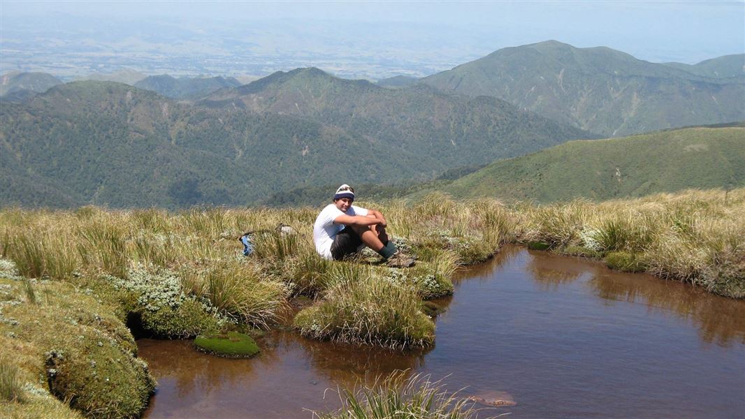
Cross the creek here and then climb steeply through forest for approximately one hour before reaching open shrubland. From here the hard work is rewarded with great views all the way onto the top of the Ngamoko Range (a further 1 hr 30 min - 2 hr). Poles mark the junction where the route heads south along the range. Return to the carpark via Shorts Track which heads down an open ridge before descending back into forest. The low level link track from Knights Track joins in below the bushline. Follow Shorts Track back to the main junction with Knights Track and on out to the carpark.
This is a strenuous all day hike and due to travel on the open tops this hike should not be attempted in poor visibility or bad weather.
The forest here is an interesting mix of conifer and broadleaved species and beech forest. Access to the Ngamoko Range and over to the Pohangina Valley attracts hunters and trampers to this area. Nearby Sixtus Lodge is used by school groups who often use the local tracks for outdoor recreation. A small privately covenanted bush area on Limestone Road gives access to some wonderful glowworm grottos.
Turn right onto Apiti Road just past the village of Kimbolton. This becomes Oroua Valley Road before Apiti. Table Flat Road turns off to the right past Apiti. Follow this until you see the signpost for Limestone Road (veer to the right near the end of Table Flat Road). Wind along Limestone Road till you get to the DOC carpark at the end.
Stay safe in the outdoors
- Choose the right trip for you. Learn about the route and make sure you have the skills for it.
- Understand the weather. Check weather forecasts.
- Pack warm clothes and extra food. Check gear lists.
- Share your plans and take ways to get help. Leave your intentions with a trusted contact and take a distress beacon.
- Take care of yourself and each other.
DOC Customer Service Centre
| Phone: | 0800 275 362 |
| Email: | manawatu@doc.govt.nz |
| Address: | Te Papaioea / Palmerston North Office |