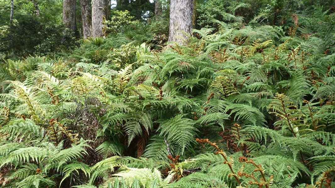
The forest park stretches almost 100 km from the Taruarau River in the north to the Manawatu Gorge in the South.
Ruahine Forest Park can be accessed from its eastern side and its western side. Restricted access to Ruahine Forest Park via a private road through Big Hill Station is permitted by agreement with the landowner. Learn about access to No Man's Road via Big Hill Station.
Ruahine Forest Park is characterised by a cool, cloudy climate with heavy rain at times. The area is renown for strong winds especially in the southern ranges, and there can be snow at any time of the year.
- Get local advice on track and weather conditions before setting out.
- Weather can change quickly with heavy rain and strong winds common even in summer. Always take warm clothing and a waterproof outer layer.
- It is recommended that you boil, chemically treat or filter water before drinking.
- Always tell someone reliable what your tramping intentions are.
- Be aware that vehicles left at road ends have sometimes been broken into.
- Topographical maps and a compass are essential. Many of the open tops are unmarked and should only be crossed in good visibility.
- Be aware of park boundaries to avoid trespassing onto private land.
Rivers and streams
With heavy rain streams and rivers rise quickly. If there are no bridges, turn back and wait for the river levels to go down.
Stay safe when crossing rivers
If you plan to cross unbridged rivers, know how to cross safely and be prepared for if you cannot cross.
Do not cross if the river is flooded, you cannot find safe entry and exit points or are unsure it’s safe. Turn back or wait for the river to drop. If in doubt, stay out.
Fires
Extreme fire conditions can exist during summer. The park is a restricted fire area, which means permits to light fires are required all year round.
Dogs
Only registered, avian aversion certified hunting dogs, Guide dogs, companion dogs (certified by the Top Dog Companion Trust) and dogs used for special services (including conservation management activities) are permitted in the park. All other dogs are banned. Hunting with dogs
Maps
The Land Information New Zealand (LINZ) topographical maps that cover the Ruahine Forest Park are:
- Topo50 map BJ37 - Kuripapango
- Topo50 map BK36 - Taoroa Junction
- Topo50 map BK37 - Tikokino
- Topo50 map BL35 - Kimbolton
- Topo50 map BL36 - Norsewood
- Topo50 map BM35 - Woodville
- Topo50 map BM36 - Dannevirke
Vegetation in the park varies as the altitude changes. Visitors may be treated to the sights and sounds of numerous native birds, but there are introduced animals as well. Find out about nature in Ruahine Forest Park.
The history of Ruahine Forest Park spans Māori and European settlement as well as early recreation.
Fulcher's Cottage, built in 1931 by George Fulcher, serves as a reminder of just how late the 'pioneering' spirit survived in New Zealand.
DOC Customer Service Centre
| Phone: | 0800 275 362 |
| Email: | manawatu@doc.govt.nz |
| Address: | Te Papaioea / Palmerston North Office |
