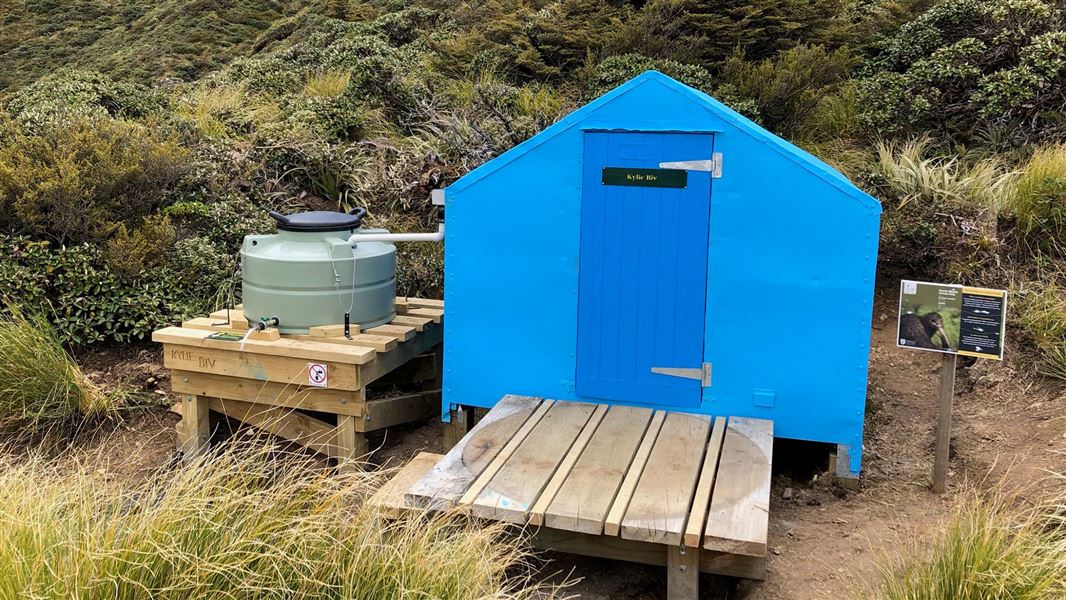
Kylie Bivouac was built in 1960 by the NZ Forest Service. Located 1380 m above sea level, it is one of the highest bivouacs in the park and can experience extreme weather conditions. Snow, high winds and rainfall can occur at any time of the year.
The biv has tank water supply.
Fees
Free
Kylie Biv can be accessed from Mangleton Road-end. It is approximately two hours 30 minutes past Upper Makaroro Hut.
Take the Golden Crown Ridge Track, which begins behind Masters Shelter and climbs to the top of the range. From here, take the track to the south past Park's Peak and Upper Makaroro Huts. From Upper Makaroro Hut, head south along the ridge for 20 minutes then down the spur for 10 minutes. The bivouac is signposted and located on the eastern side of the main Ruahine Range.
Tracks to this hut
-
Duration: 2 - 3 hr one way Difficulty: Advanced -
Duration: 1-2 days Difficulty: Advanced
Location
NZTopo50 map sheet: BK36
Grid/NZTM2000 coordinates: E1874495, N5602840
DOC Customer Service Centre
| Phone: | 0800 275 362 |
| Email: | manawatu@doc.govt.nz |
| Address: | Te Papaioea / Palmerston North Office |