Te Urewera is recognised in New Zealand law as a living person. Te Urewera is spoken for and governed by a board. Care for Te Urewera, including the tracks and facilities, is carried out by Te Uru Taumatua – Ngāi Tūhoe’s operational entity.
Ngamoko Track
Time: 2 hr 30 min to Ngamoko summit
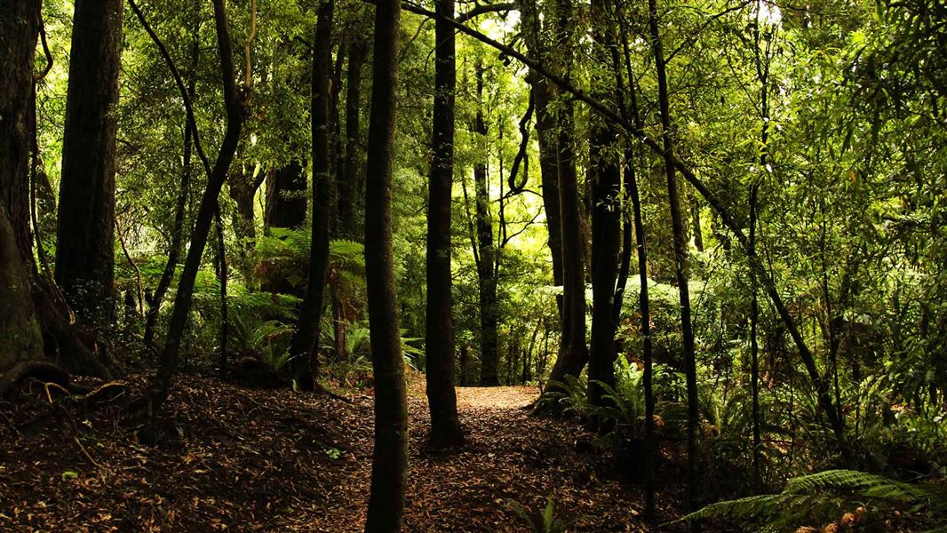
The Ngamoko Track climbs to the Ngāmoko Range summit, steeply at times, through dense forest. At lower altitudes the variety of forest trees is superb: light green tawa, red and silver beech trees, tall rimu with draping golden green leaves, and the mighty northern rata.
Higher up, above a row of sandstone bluffs, cooler temperatures and strong winds means the forest is dominated by the hardy silver beech. At the summit itself (1099 metres) gaps in the vegetation give glorious views of the length of Lake Waikaremoana in one direction, and green farmland ridges stretching away towards Gisborne and Wairoa in the other.
A short detour at the beginning of the Ngamoko Track takes you to one of the biggest rata trees in the country. It is around 1,000 years since it began life as a germinating seed high in the forks of a tree that itself was probably 400-500 years old.
Return via the same track or continue to Lake Kaitawa.
Lake Kaitawa via Ngamoko Track
Time: 5 hr from Ngamoko summit.
This is an extension of the tramp above extending your tramp to a full 8 hour day. It's a one way tramp - you'll need to arrange your own transport from Kaitawa at the end of the tramp.
Near Ngamoko summit a turn off to the right indicates the start of a long ridge which descends gradually through forest to Lake Kaitawa. There are good views in places.
The track access point is located 2.4 km along the road from the Visitor Centre heading towards Wairoa. A sign indicates Whaitiri Point and opposite it is the starting point for the track.
Stay safe in the outdoors
- Choose the right trip for you. Learn about the route and make sure you have the skills for it.
- Understand the weather. Check weather forecasts.
- Pack warm clothes and extra food. Check gear lists.
- Share your plans and take ways to get help. Leave your intentions with a trusted contact and take a distress beacon.
- Take care of yourself and each other.
Te Urewera Visitor Centre
| Phone: | +64 6 837 3900 |
| Email: | teureweravc@ngaituhoe.iwi.nz |
| Address: | Te Kura Whenua 6249 Lake Road/SH38 Waikaremoana 4195 Te Urewera |
| Hours: | Visitor centre services |