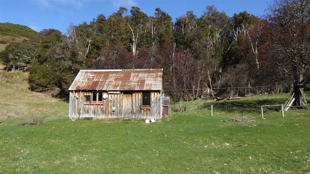
This marked route links Charlies Saddle in the Edwards Valley to Stanley Vale Hut. It also links to the Fowlers Pass Track and the St James Cycle Trail.
The route follows the Stanley River and passes through an interesting geological area known as the Racecourse. There are several river crossings which can make travel difficult in times of high rainfall and during spring snowmelt.
The eastern side of St James Conservation Area can be accessed from a number of points along Tophouse Road.
From Hanmer Springs take Clarence Valley Road over Jacks Pass to connect with Tophouse Road (about 13 km from Hanmer Springs). This road follows the eastern boundary of St James Conservation Area.
Stay safe in the outdoors
- Choose the right trip for you. Learn about the route and make sure you have the skills for it.
- Understand the weather. Check weather forecasts.
- Pack warm clothes and extra food. Check gear lists.
- Share your plans and take ways to get help. Leave your intentions with a trusted contact and take a distress beacon.
- Take care of yourself and each other.
Arthur's Pass National Park Visitor Centre
| Phone: | +64 3 318 9211 |
| Email: | arthurspassvc@doc.govt.nz |
| Address: | 104 West Coast Road Arthur's Pass 7654 |
| Hours: | Visitor centre hours and services |