For about an hour follow a 4WD track through pasture land, crossing the Lillburn River until the cattle yards and marked route to Tent Gully.
Approximately 1 km after Tent Gully, the track leaves the beech forest becoming a marked route, sidling high through tussock, scrub and patches of beech before re-entering the forest and descending to ford the Ashley River about 100 metres from Youngman Stream Hut.
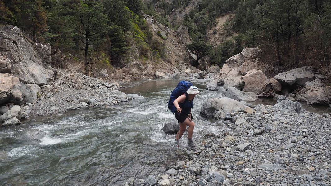
If river levels are low, it's possible to follow Ashely River from Tent Gully to Youngman Stream.
This track connects with Tarn Hut tracks. The Tarn Hut tracks are closed between 1 August and 30 September, and the entire month of April.
From Oxford, follow Ashely Gorge Road for 6 km. Turn into Lees Valley Road and follow this for 29 km to a sign and locked gate that indicates the track. It is foot access only from this point. Follow this marked track for 3.5 km to a locked gate, keep to the marked track as this is private farmland.
NZTopo50 map sheet: BV22 (Dampier Corner)
Caution around cattle
Access to the Youngman Stream Track from Lees Valley Road is through a working cattle station.
By accessing this track you are acknowledging that you are entering a working station at your own risk. There will be general hazards related to farming and dangerous cattle may be present.
Do not disturb stock and proceed with caution. Email themuster@grasslands-llc.com for further information.
Stay safe in the outdoors
- Choose the right trip for you. Learn about the route and make sure you have the skills for it.
- Understand the weather. Check weather forecasts.
- Pack warm clothes and extra food. Check gear lists.
- Share your plans and take ways to get help. Leave your intentions with a trusted contact and take a distress beacon.
- Take care of yourself and each other.
Arthur's Pass National Park Visitor Centre
| Phone: | +64 3 318 9211 |
| Email: | arthurspassvc@doc.govt.nz |
| Address: | 104 West Coast Road Arthur's Pass 7654 |
| Hours: | Visitor centre hours and services |