This track is closed between 1 August and 30 September and the entire month of April.
Lees Valley Road to Youngman Stream Hut
Time: 4–5 hr
Follow the Youngman Stream Track to Youngman Stream Hut.
Youngman Stream Hut to Tarn Hut
Time: 2 hr 30 min
From Youngman Stream Hut, cross the Ashley River and follow the track as it climbs a ridge to the summit of Lillburn Hill.
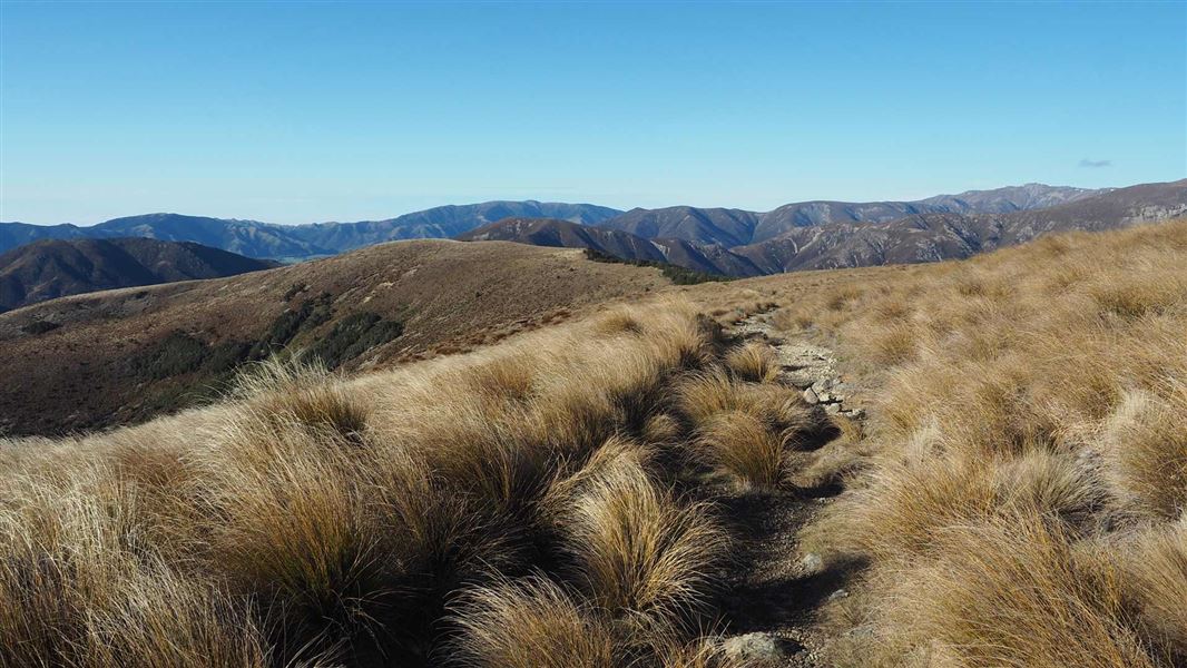
There are spectacular 360-degree views from Lillburn Hill over the foothill forests to Christchurch and the Port Hills beyond.
Tarn Hut is a further 20 minutes along the spur south-west of Lillburn Hill. It is sited next to a small picturesque tarn in open alpine grassland.
Lees Valley Road to Tarn Hut via Lillburn Route
Time: 4 hr 30 min
Lillburn Route provides an alternate access to Lillburn Hill summit and Tarn Hut.
The route turn-off is signposted from Youngman Stream Hut Track approximately 2 hours 30 minutes from the start of the track at the locked gate. The unforgiving route climbs very steeply up a ridge to the summit of Lillburn Hill for 1 hour 30 minutes. Tarn Hut is a further 20 minutes on from the summit.
From Oxford, follow Ashely Gorge Road for 6 km. Turn into Lees Valley Road and follow this for 29 km to a sign and locked gate that indicates the track. It is foot access only from this point. Follow this marked track for 3.5 km to a locked gate, keep to the marked track as this is private farmland.
NZTopo50 map sheet: BV22 (Dampier Corner)
Close to Tarn Hut you can find vegetable sheep. These unusual, squat, hardy plants have adapted to survive the harsh alpine environment by forming dense, flat cushions over rocks.
Stay safe in the outdoors
- Choose the right trip for you. Learn about the route and make sure you have the skills for it.
- Understand the weather. Check weather forecasts.
- Pack warm clothes and extra food. Check gear lists.
- Share your plans and take ways to get help. Share directly or use the Outdoor Intentions form or Plan My Walk. Take a distress beacon.
- Take care of yourself and each other.
Arthur's Pass National Park Visitor Centre
| Phone: | +64 3 318 9211 |
| Email: | arthurspassvc@doc.govt.nz |
| Address: | 104 West Coast Road Arthur's Pass 7654 |
| Hours: | Visitor centre hours and services |
