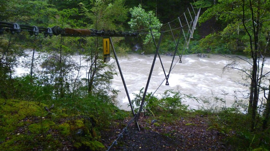
The eastern section of Harper Pass is described here from Hurunui swing bridge to Harper Pass. It is easy to follow, with bridges over all major rivers.
The full 4-5 day route over Harper Pass, from Aitken to Lewis Pass, should be walked from the West side, ie in the opposite direction to that described below. It involves three major river crossings. For more information, see Harper Pass Route.
Hurunui swing bridge to Hurunui Hut
Time: 30 min
An easy walk along a graded track through beech forest to Hurunui Hut.
Hurunui Hut to No. 3 Hut
Time: 4 hr
The track passes through sections of beech forest and crosses river flats, with some sections climbing up the side of the hill to get around the river. A hot spring is approximately 2 hours from Hurunui Hut. From the hot spring the track sidles through the forest and descends to matagouri flats where it is an easy walk to No. 3 Hut.
No. 3 Hut to Camerons Hut
Time: 1 hr
The track follows the river through red beech forest to Camerons Stream, which is crossed via a three-wire bridge. The track continues through the forest to Camerons Hut.
Camerons Hut to Harper Pass
Time: 2 hr
The track crosses grass sections and beech forest, climbing around gorges to avoid crossing the river. The summit of Harper Pass is approximately 45 minutes further on from the Harper Pass bivvy.
Lake Sumner Forest Park lies 100 km northwest of Christchurch between Lewis Pass and Arthur’s Pass National Park.
To reach the park via Lake Sumner Road: take State Highway 7 at Waikari to Hawarden, then follow Lake Sumner Road to Lake Taylor. The road beyond Lake Taylor is suitable for 4WD vehicles only to Loch Katrine (camping area).
The 4WD track from Loch Katrine to the Hurunui swingbridge at the boundary of Lake Sumner Forest Park crosses Lakes Station land. There is a locked gate on road by Loch Katrine. There is no restriction for foot or mountain-bike access through this gate, but vehicle access must be gained from Lakes Station. DOC is unable to provide contact details.
It is around 9 km (2–3 hours walk) from Loch Katrine to the Hurunui swing bridge.
Safety is your responsibility:
-
Have the correct and the most up-to-date information
-
Take a topographic map if going into more challenging country, i.e. something more than a tramping track.
-
Always be prepared for sudden weather changes. Check the latest forecast, especially if any river crossings are required.
-
Equip yourself well and prepare for the worst. Take enough food and water and the right clothing.
-
Ensure someone else knows where you are going and when you plan to return.
-
If staying in huts, fill in the intentions book. This may save your life.
-
Dial 111 immediately for any fire emergency.
Stay safe in the outdoors
- Choose the right trip for you. Learn about the route and make sure you have the skills for it.
- Understand the weather. Check weather forecasts.
- Pack warm clothes and extra food. Check gear lists.
- Share your plans and take ways to get help. Share directly or use the Outdoor Intentions form or Plan My Walk. Take a distress beacon.
- Take care of yourself and each other.
Arthur's Pass National Park Visitor Centre
| Phone: | +64 3 318 9211 |
| Email: | arthurspassvc@doc.govt.nz |
| Address: | 104 West Coast Road Arthur's Pass 7654 |
| Hours: | Visitor centre hours and services |
