3.3 km one way
Mt Enys is the highest point in the Craigieburn Range. There is an unmarked route from Mt Cloudsley to the Mt Enys Summit.
It is very important to only attempt this unmarked route in good weather and visibility. This area is extremely hazardous in wet, windy or low visibility conditions.
The area around Mt Enys can have extreme avalanche danger in winter conditions, irrespective of the general avalanche rating for the area. We strongly advise that you do not attempt this trip if there is snow present.
The route is not a DOC track and DOC does not maintain it or manage hazards. Only attempt this trip if you are a confident, fit, experienced backcountry alpine tramper, with good gear and in favourable conditions.
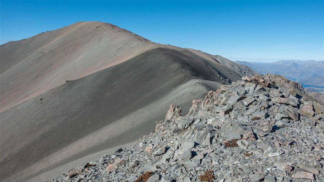
From Mt Cloudsley (2107 m), descend southwards, staying on the broad open ridgeline. Ascend from the saddle to the 2089 m point. Keeping the summit of Mt Enys in sight, descend the narrow joining ridge into another saddle 100 m lower.
The final ascent on the Mt Enys is made up a steep, winding ridge to the summit. From the summit you can see the entire Craigieburn Range, with views into the Arrowsmith Ranges in the south. Return the same way.
Note: It can be tempting to return via Carn Brea (2090 m) and Dead Man Spur. While this is possible, it is important to note that a return trip to Castle Hill Village needs to go over Leith Hill, staying above 1100 m to avoid the private farmland of Castle Hill Station.
This unmarked route begins at Mt Cloudsey.
This is a challenging trip, make sure you have the skills and experience for it
This trip is best suited to fit, well-prepared and experienced backcountry alpine trampers.
There is extreme avalanche danger on this route
The area around Mt Enys can have extreme avalanche danger in winter conditions, irrespective of the general avalanche rating for the area.
We strongly advise that you do not attempt this trip if there is snow present.
NZ Avalanche Advisory for Craigieburn Range.
Only attempt this trip when there is good visibility
Fog/mist/cloud will make it very difficult to find the route and navigate your way along to Mt Enys. It is easy to get lost there in low visibility conditions.
Be ready for alpine weather
This is an alpine area and people should be prepared for extremes of weather. Always check the forecast before you go. Weather forecasts for Mt Cheeseman and Canterbury High Country
Carry warm layers, a waterproof raincoat and sun protection. Find packing lists here.
Stay safe in the outdoors
- Choose the right trip for you. Learn about the route and make sure you have the skills for it.
- Understand the weather. Check weather forecasts.
- Pack warm clothes and extra food. Check gear lists.
- Share your plans and take ways to get help. Share directly or use the Outdoor Intentions form or Plan My Walk. Take a distress beacon.
- Take care of yourself and each other.
Arthur's Pass National Park Visitor Centre
| Phone: | +64 3 318 9211 |
| Email: | arthurspassvc@doc.govt.nz |
| Address: | 104 West Coast Road Arthur's Pass 7654 |
| Hours: | Visitor centre hours and services |
