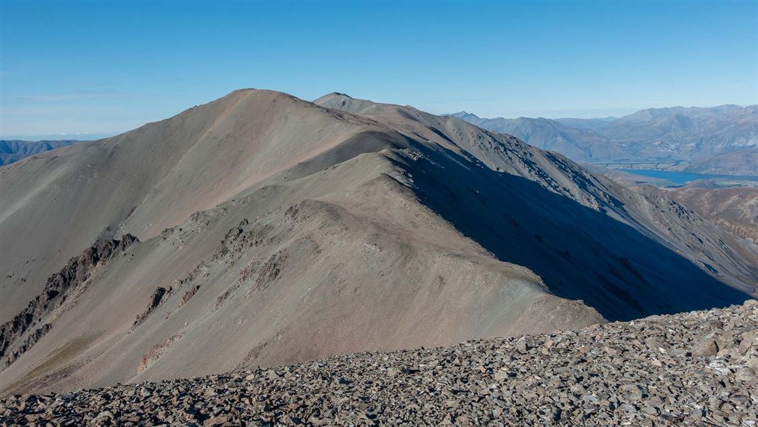
4.2 km one way
From the junction of the Easy Up track and the Hogs Back Track, fit, experienced, well-prepared parties could climb to the summit of Mt Cloudsley on an unmarked route via Long Spur. This should only be attempted in good visibility, and when there is no snow on the ground.
From the fence line near the end of the Easy Up track, initially follow the rough non-DOC track on its left side for about 150 m before climbing the hillside through tussock and scrub towards the obvious open ridge above. The ridge is easily followed.
Ridge vegetation is lost at 1500 m, continuing on scree and through short sections of rocky outcropping. At the 1855 m point, follow the ascending ridge for a further 1.1 km to the broad, open summit.
From Mt Cloudsley there are spectacular views south into the headwaters of the Wilberforce and Rakaia Rivers, and an expansive view towards the Torlesse Range and Castle Hill Peak. Return the same way.
The route up Leith Hill is not a DOC track and DOC does not maintain it or manage hazards there.
This unmarked route can be accessed from Hogs Back Track.
This is a challenging trip, make sure you have the skills and experience for it
This trip is best suited to fit, well-prepared and experienced trampers.
Only attempt this trip when there is good visibility
Fog/mist/cloud will make it very difficult to find the route and navigate your way up Mt Cloudsley. It is easy to get lost there in low visibility conditions.
Be ready for alpine weather
This is an alpine area and people should be prepared for extremes of weather. Always check the forecast before you go. Weather forecasts for Mt Cheeseman and Canterbury High Country
Carry warm layers, a waterproof raincoat and sun protection. Find packing lists here.
This is an avalanche area
If snow is present, be avalanche aware.
This unmarked route enters avalanche terrain. If there is snow on the steep slopes of the route you are taking, there can be avalanches. We recommend choosing times without snow to visit this area for tramping.
If you are considering tramping here when snow is present on the upper slopes, check the NZ Avalanche Advisory for Craigieburn Range.
Stay safe in the outdoors
- Choose the right trip for you. Learn about the route and make sure you have the skills for it.
- Understand the weather. Check weather forecasts.
- Pack warm clothes and extra food. Check gear lists.
- Share your plans and take ways to get help. Share directly or use the Outdoor Intentions form or Plan My Walk. Take a distress beacon.
- Take care of yourself and each other.
Arthur's Pass National Park Visitor Centre
| Phone: | +64 3 318 9211 |
| Email: | arthurspassvc@doc.govt.nz |
| Address: | 104 West Coast Road Arthur's Pass 7654 |
| Hours: | Visitor centre hours and services |
