4.5 km one way
December to April
The track begins on the Craigieburn Valley ski field road, 1.5 km up the road from the state highway turnoff.
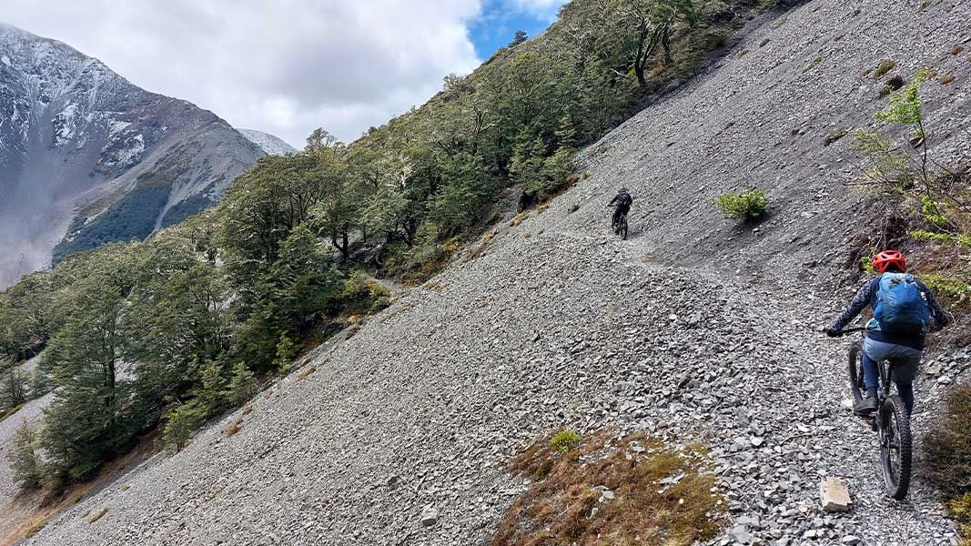
The track sidles along the edge of the valley, gradually gaining height. After around 20 minutes, you will pass the junction with The Luge Track, which leads to Lyndon Saddle and Broken River Valley.
The track passes through mountain beech forest, until it emerges into alpine tussock near the Craigieburn Valley ski field huts and car park.
You can make this a loop walk by following the road back to where you parked your car. This takes around an hour.
Most mountain bikers do the loop in the opposite direction than is described here – they ride up the road, then back down Craigieburn Edge Track.
Note: Craigieburn Edge Track is also known as Craigieburn Valley Track.
May to November
From May to November, you can expect winter conditions on the track. Ice, deep snow, adverse weather and avalanches can make the track hazardous.
This track passes through complex avalanche terrain. Large avalanches can cross the track from winter to late spring (generally May to November). The avalanche paths are not signposted.
We recommend walking/biking this track outside the avalanche season.
This track begins on Craigieburn Valley Road, which turns off State Highway 73 around 110km from Christchurch. The road is signposted, including with a sign towards Craigieburn Valley Ski Area. Follow this road for about 1.5km, until you reach the track entrance.
Be aware that the road can require chains. Check the road conditions on the Craigieburn ski field website.
This track goes through complex avalanche terrain
When there is snow on the steep slopes above this track, there can be large avalanches that cross the track. This is most common in winter and early spring (May to November). Even if there is no snow on the track, if there is snow higher up then there can still be avalanches.
We recommend walking this track at times of year with no snow, which generally summer and early autumn.
If you are considering walking this track when snow is present on the upper slopes, check the NZ Avalanche Advisory for Craigieburn Range. Make sure you know the weather and avalanche conditions, can recognise dangerous avalanche terrain, and are carrying avalanche rescue equipment and know how to use it.
Check the weather forecast and pack for all weather
Check the forecast before you go. Always carry a raincoat and warm layers. This area gets hot in summer, so bring plenty of water and sun protection. Find a day hike packing list here.
Weather forecasts for Mt Cheeseman and Canterbury High Country
Expect wasps, especially in summer and early autumn
Wasp populations reach high numbers from January to March – wear light coloured clothing and carry antihistamine cream/tablets as a precaution.
Shared use area
This track is used by walkers and mountain bikers – be respectful of other users. Mountain bikers should go slow and be ready to encounter walkers.
From 1948 until the road was built in 1961 this was the only access to the Craigieburn Valley ski field. All the materials for the early huts and tows were carried by club members up this track.
Arthur's Pass National Park Visitor Centre
| Phone: | +64 3 318 9211 |
| Email: | arthurspassvc@doc.govt.nz |
| Address: | 104 West Coast Road Arthur's Pass 7654 |
| Hours: | Visitor centre hours and services |
