Walking times from the start of the track:
Lake Lilian – 1 hour [no dogs, no camping, no hunting, no fires, no mountain biking]
Basins Hut and Old Basins Hut – 4 hour
Avoca Hut – 8 hour
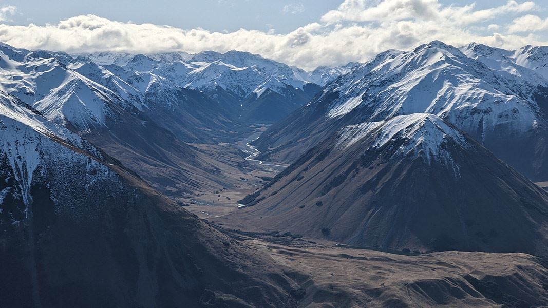
Turn off Harper Valley Track, following the sign for Avoca River Valley. The route turns up Avoca Valley and crosses Lilian Creek several times. You then reach a turnoff for a side track to Lake Lilian.
Side Track: Lake Lilian, 30 min to lake. No dogs, no camping, no hunting, no fires, no mountain biking allowed on this track.
From the Lake Lilian turnoff, the Avoca Valley track continues up the valley. The track is an unmarked public access track in the riverbed and margin. You will need to find your way up the valley, including identifying suitable crossing points for the river.
Roughly halfway up the valley on the true right, Basin Creek flows into Avoca River. Basins Hut is on the true right of Basin Creek, not far upstream from the confluence with Avoca River. Old Basins Hut is situated on the other side of Basin Creek.
From Basin Creek, continue up Avoca Valley in the riverbed and margins, with multiple river and stream crossings. Around 4 hours from Basin Creek, you will reach Avoca Hut.
As Avoca Valley Track is in the riverbed and margins, with many river crossings, you need good weather and favourable river conditions. It is best suited to people with excellent river crossing skills, including being able to judge when a river is safe to cross, being able to select a crossing point, and knowing how to cross safely.
Avoca Valley Track begins at the turnoff from Harper Valley Track, 2 hours walk up Harper Valley Track from Harper Road.
Stay safe when crossing rivers
If you plan to cross unbridged rivers, know how to cross safely and be prepared for if you cannot cross.
Do not cross if the river is flooded, you cannot find safe entry and exit points or are unsure it’s safe. Turn back or wait for the river to drop. If in doubt, stay out.
Check the weather forecast and pack for all weather
Check the forecast before you go (Lake Coleridge forecast). Always carry a raincoat and warm layers. This area gets hot in summer, so bring plenty of water and sun protection.
This is a remote area and it is easy to get cut off by flooded rivers, so carry an emergency shelter, spare food and a distress beacon.
Find a tramping packing list here
Expect wasps, especially in summer and early autumn
Wasp populations reach high numbers from January to March – wear light coloured clothing and carry antihistamine cream/tablets as a precaution.
Stay safe in the outdoors
- Choose the right trip for you. Learn about the route and make sure you have the skills for it.
- Understand the weather. Check weather forecasts.
- Pack warm clothes and extra food. Check gear lists.
- Share your plans and take ways to get help. Share directly or use the Outdoor Intentions form or Plan My Walk. Take a distress beacon.
- Take care of yourself and each other.
Arthur's Pass National Park Visitor Centre
| Phone: | +64 3 318 9211 |
| Email: | arthurspassvc@doc.govt.nz |
| Address: | 104 West Coast Road Arthur's Pass 7654 |
| Hours: | Visitor centre hours and services |
